

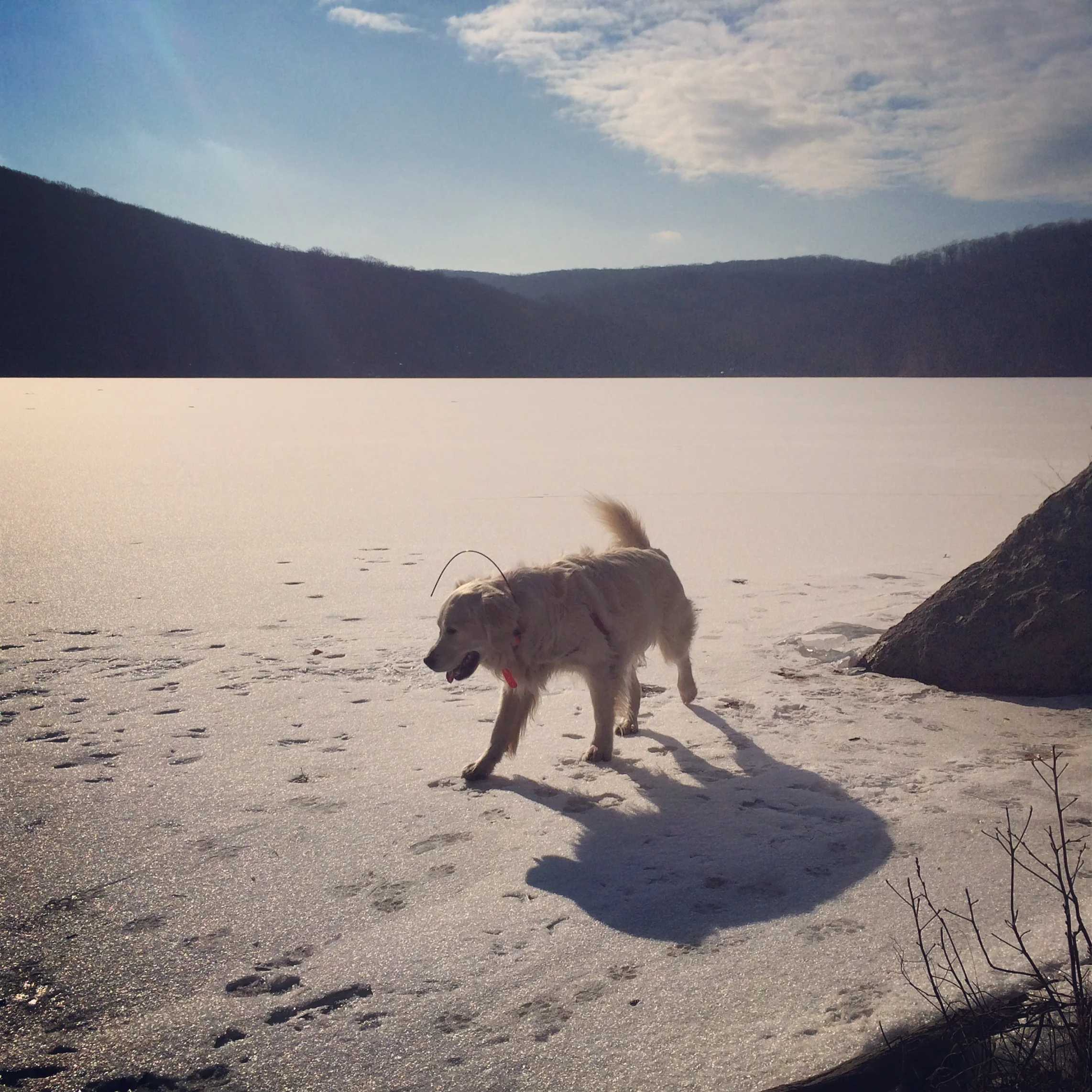
Barney, Molly, and Ronie at Silvermine Lake


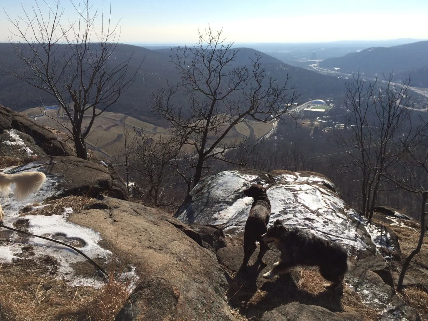
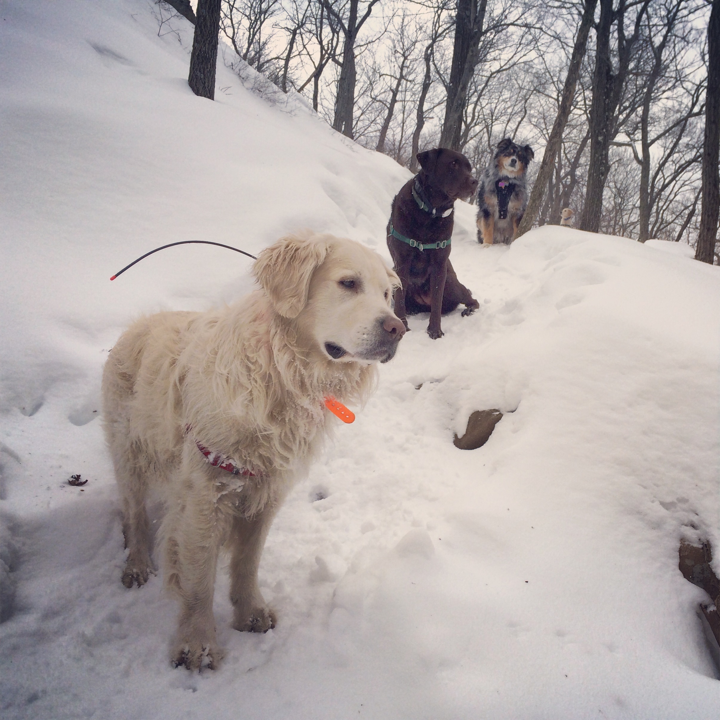
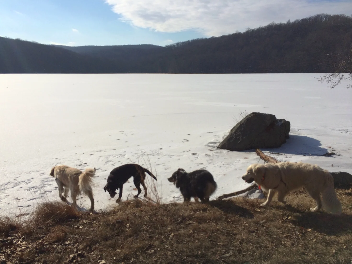
Henry, Otto, Pepper, and Luke at Lake Skannatati and Surebridge Mountain

Barney, Molly, and Ronie at Lake Wanoksink and Pine Meadow Lake


Henry, Otto, Pepper, Luke and Hazel at Teatown Lake Reservation


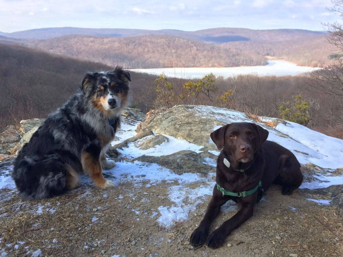
Barney and Sandy at Lake Skannatati and Hogencamp Mountain


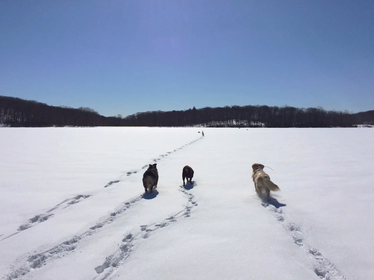
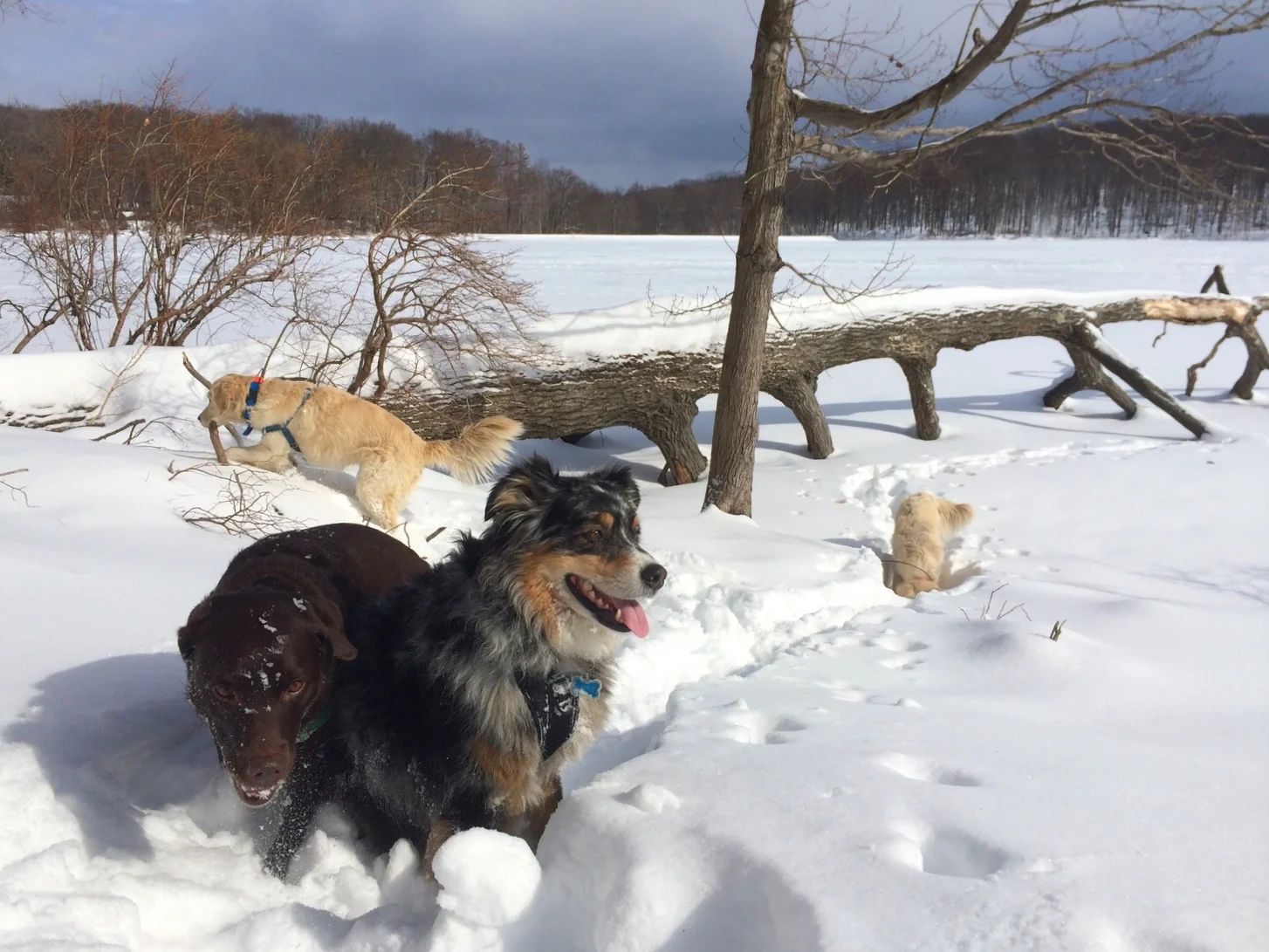
Henry, Otto, Pepper, and Luke at Pine Meadow Lake and Raccoon Brook Hill


Barney and Molly at South Mountain Reservation


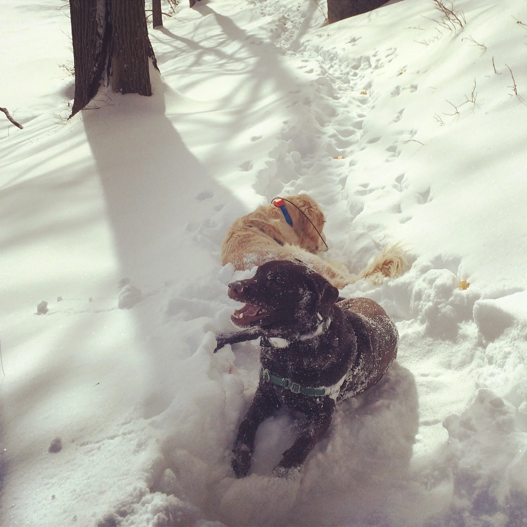
Henry, Otto, Pepper, and Luke at Island Pond and the Lemon Squeezer


Barney, Molly, and Hazel at Sterling Forest State Park


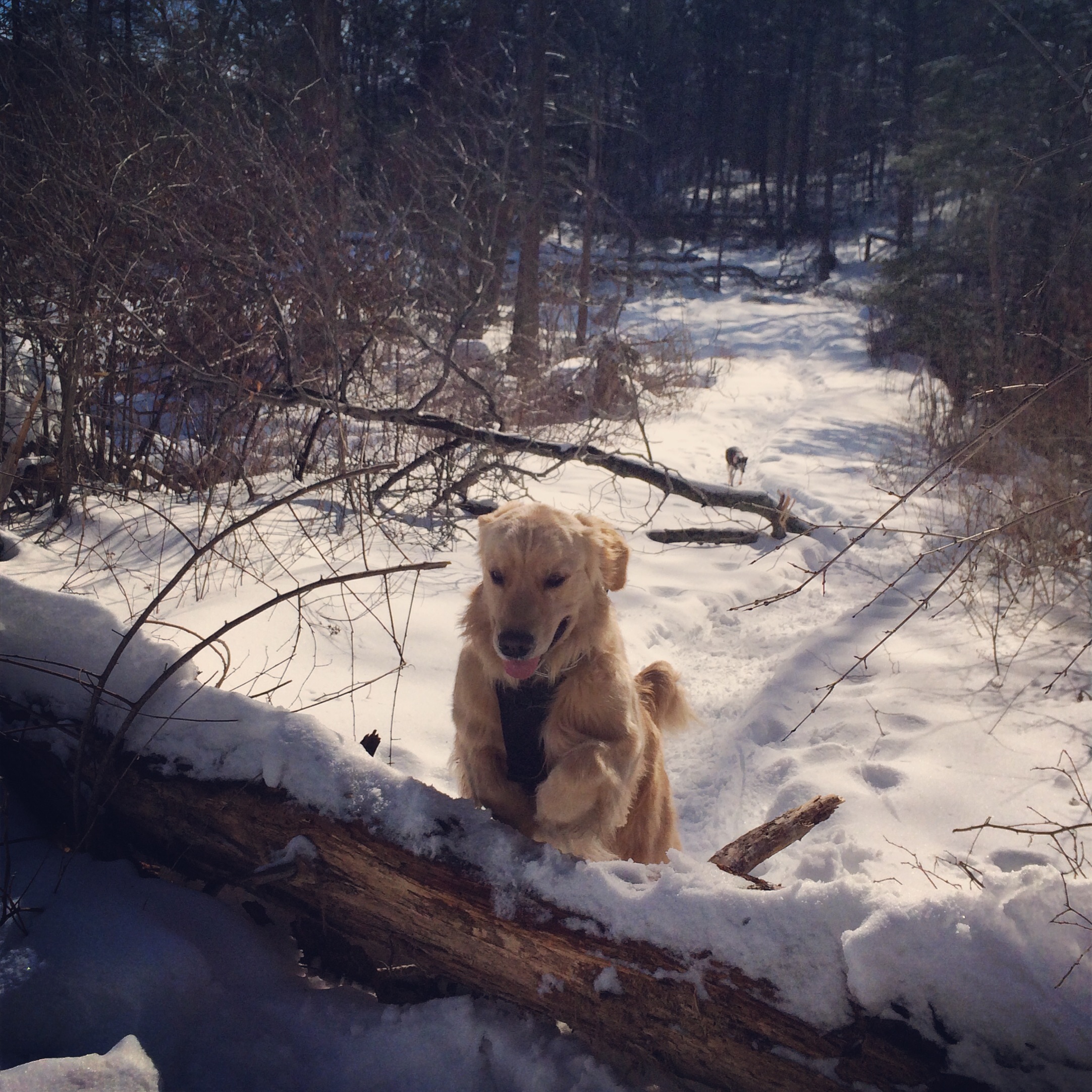
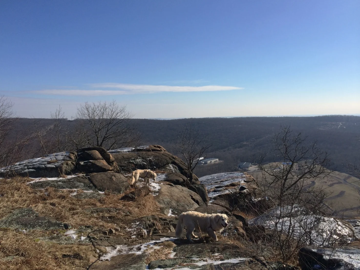
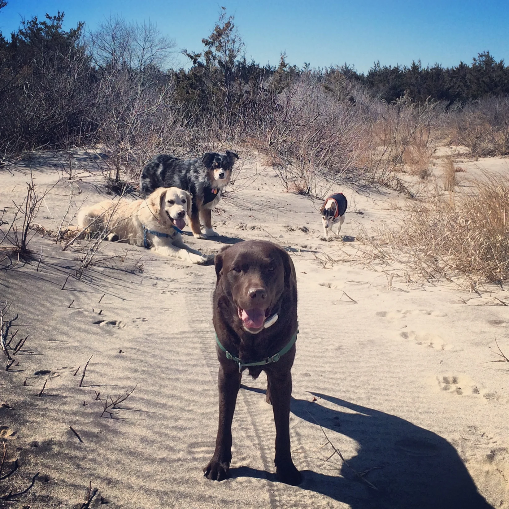
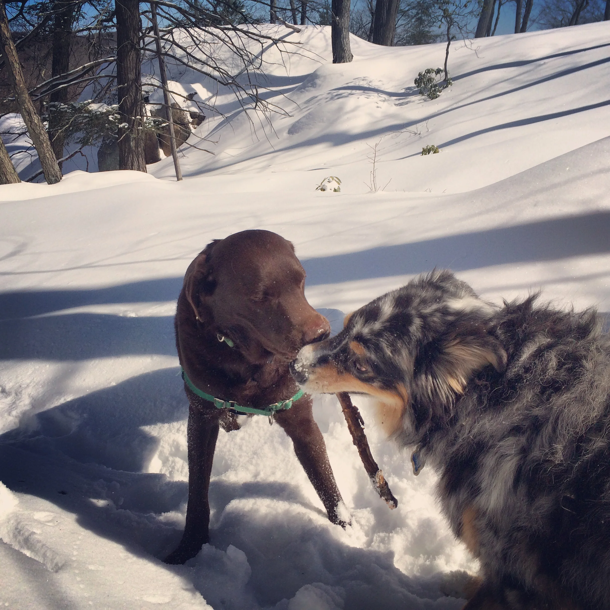
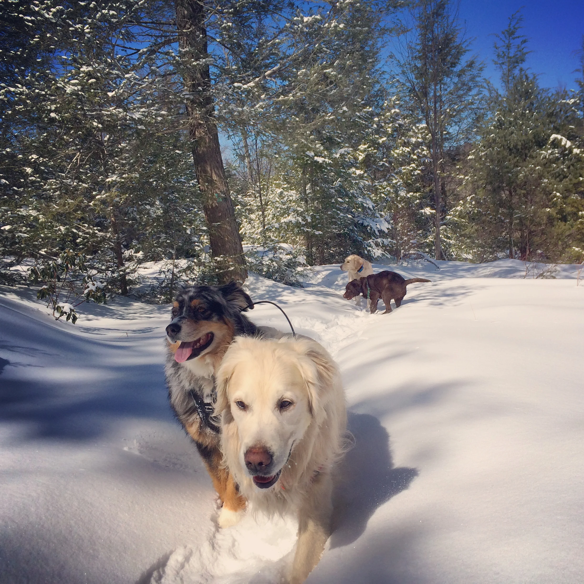
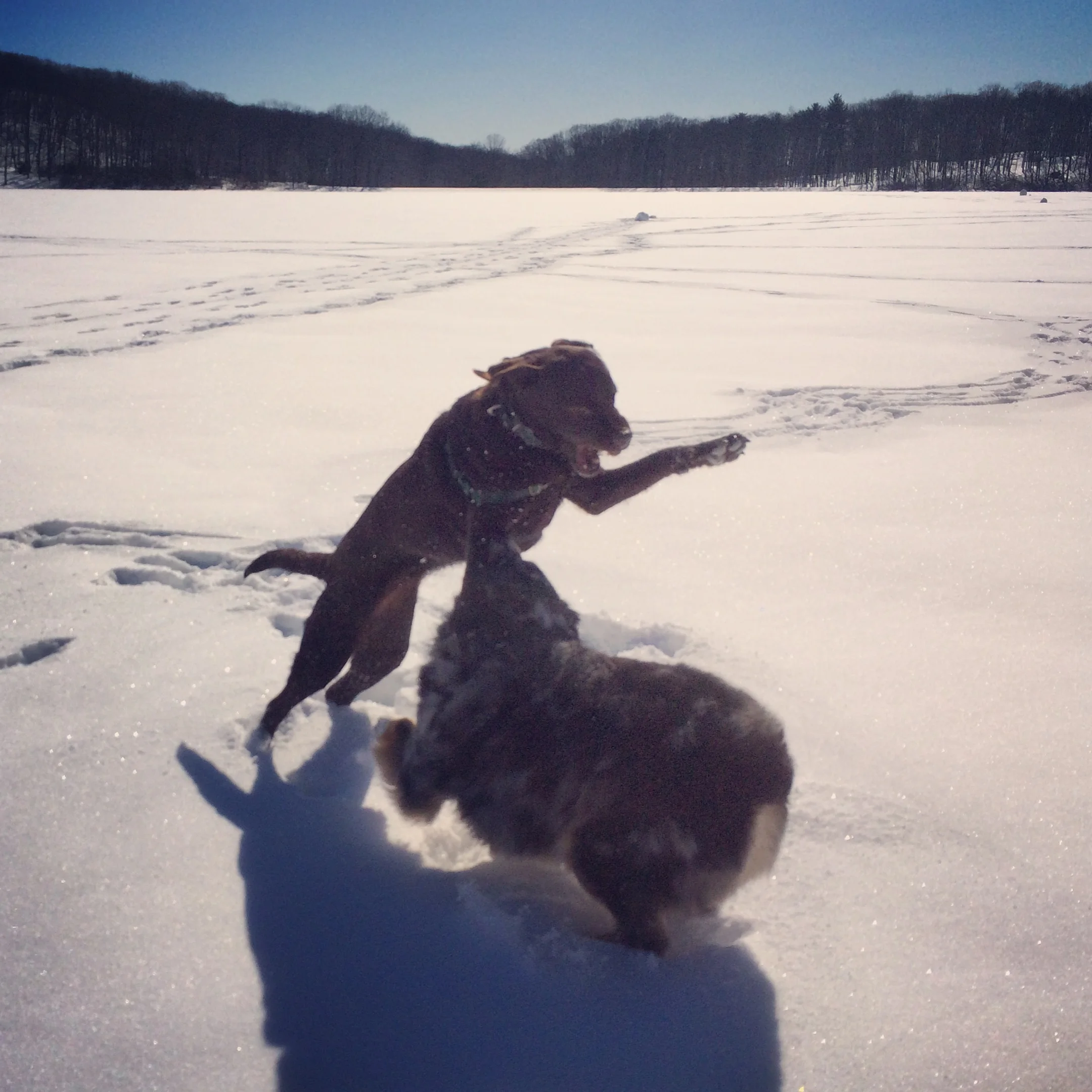
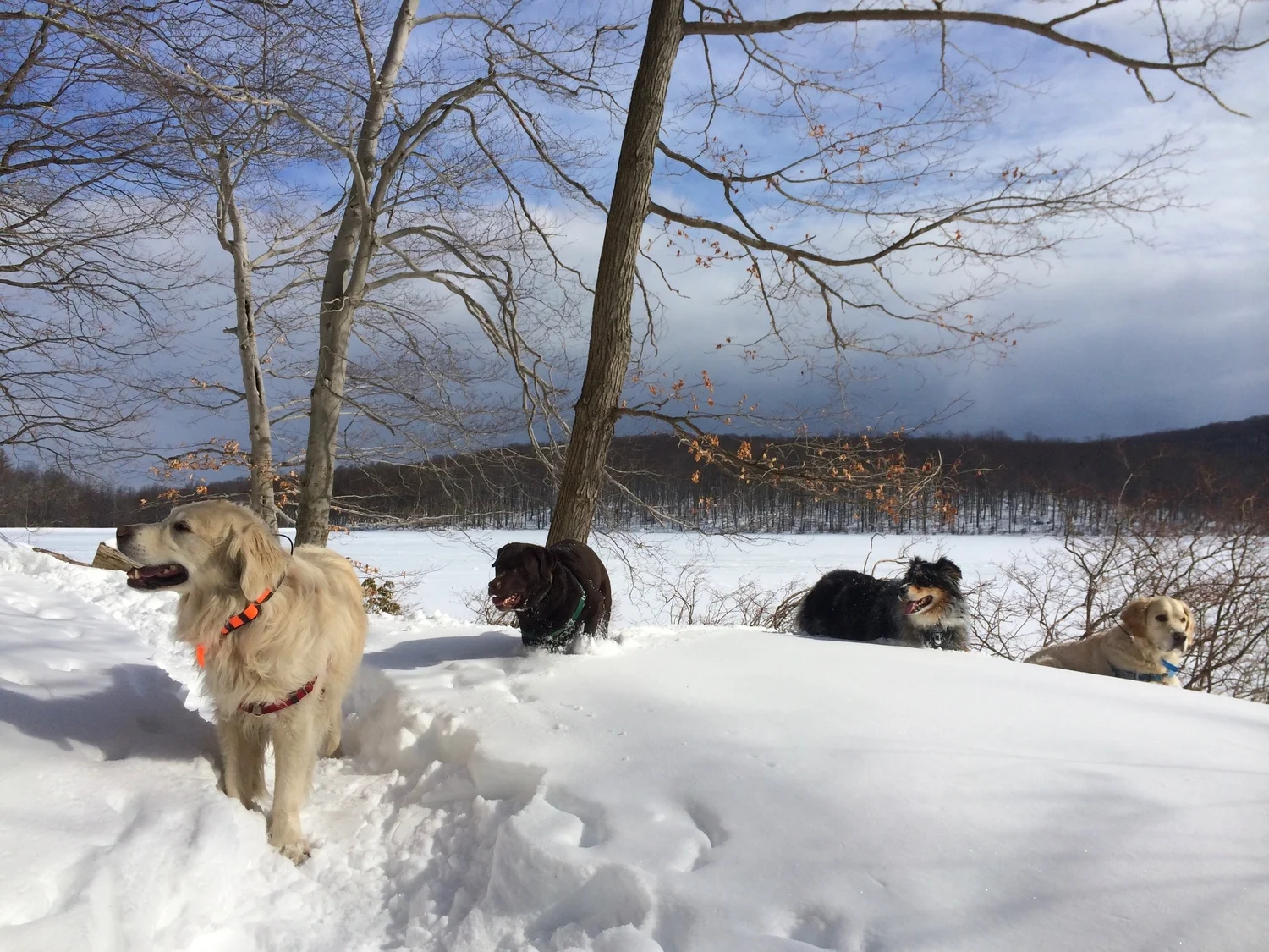
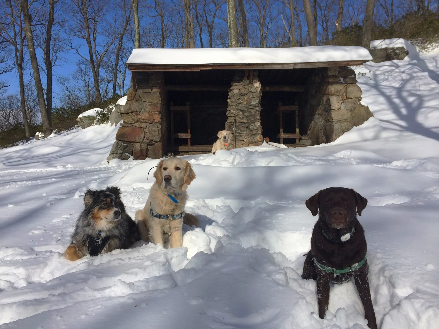
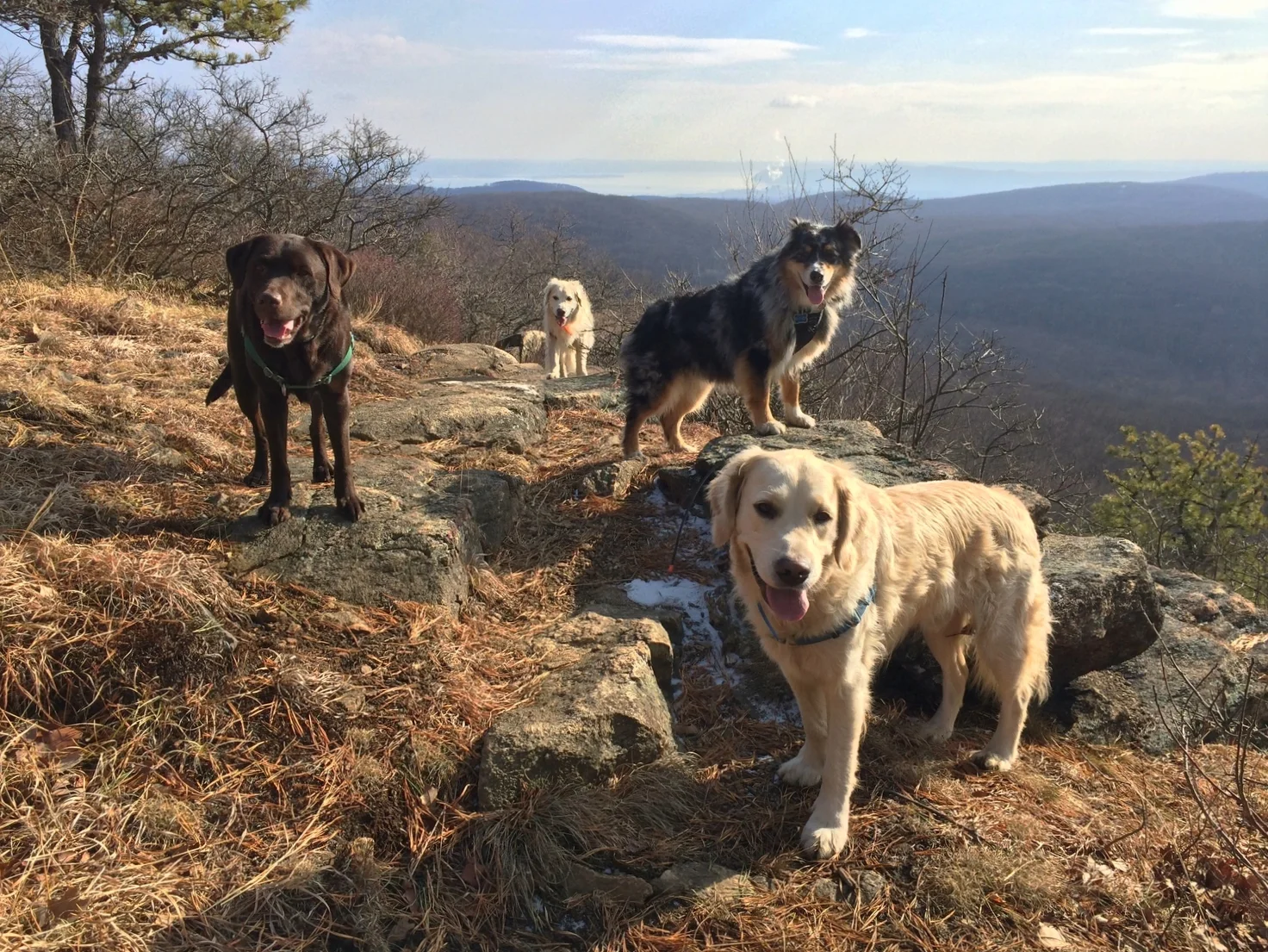
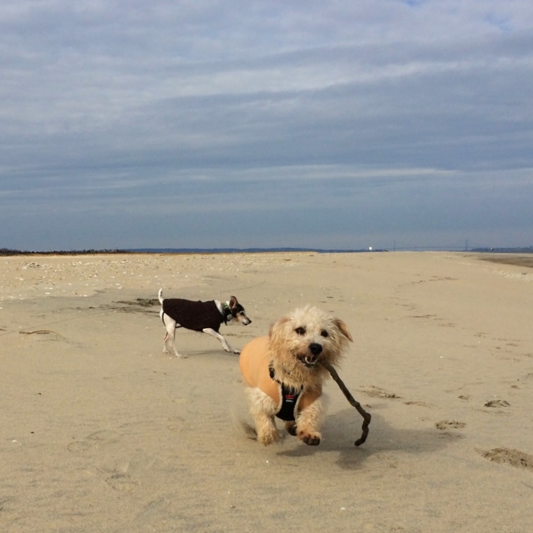
Henry, Otto, Pepper, and Luke at Silvermine Lake


Ronie, Barney, and Sandy at Pine Meadow Lake


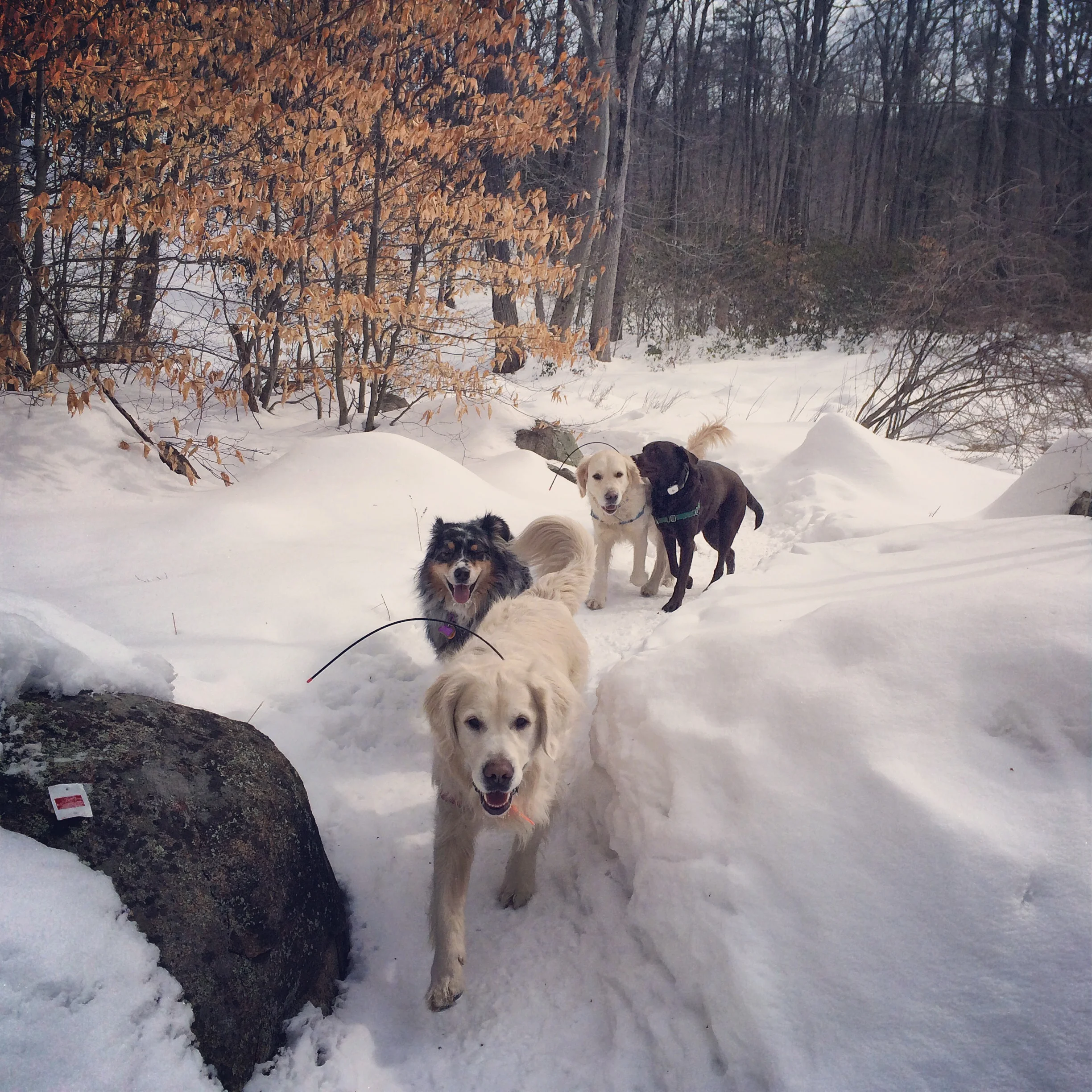
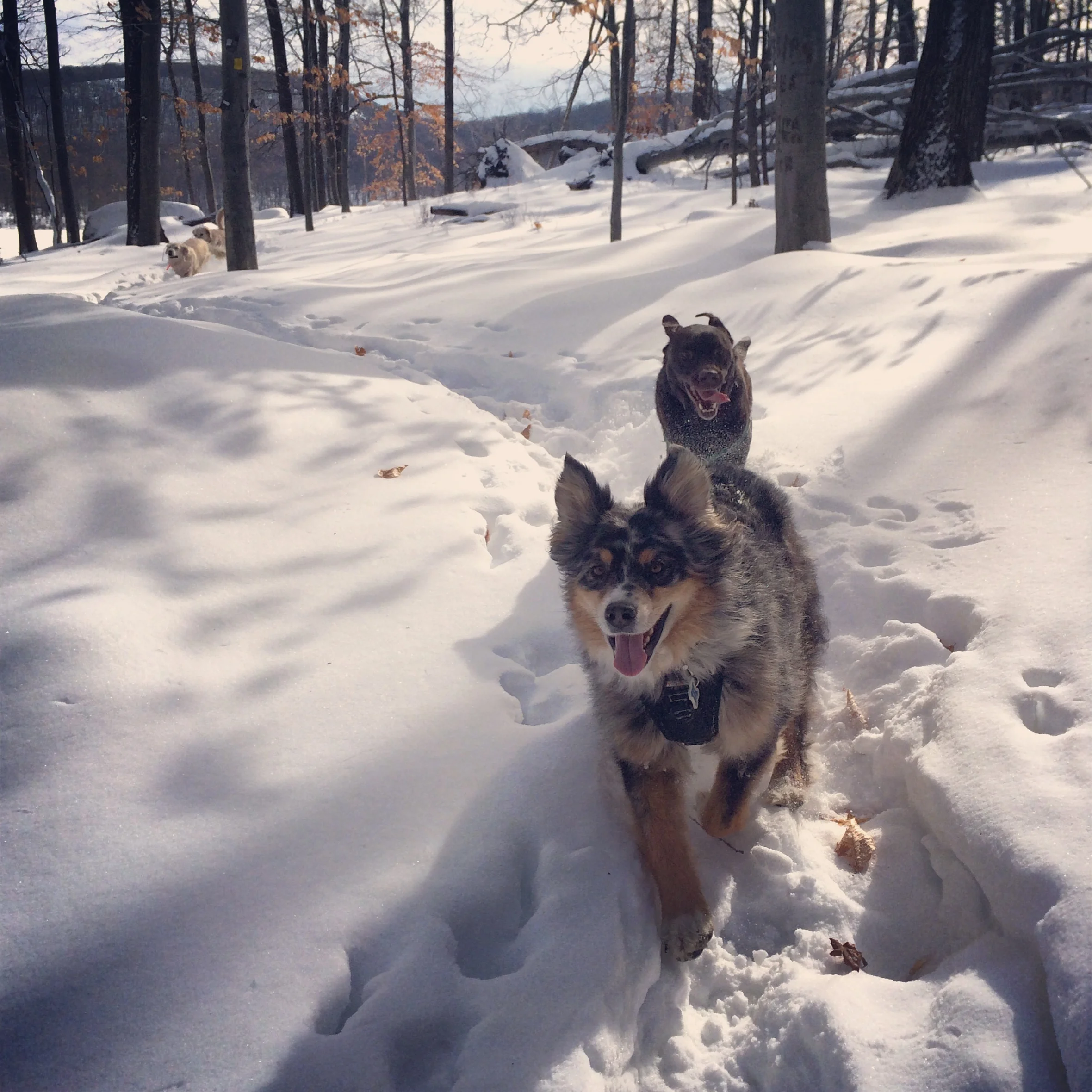
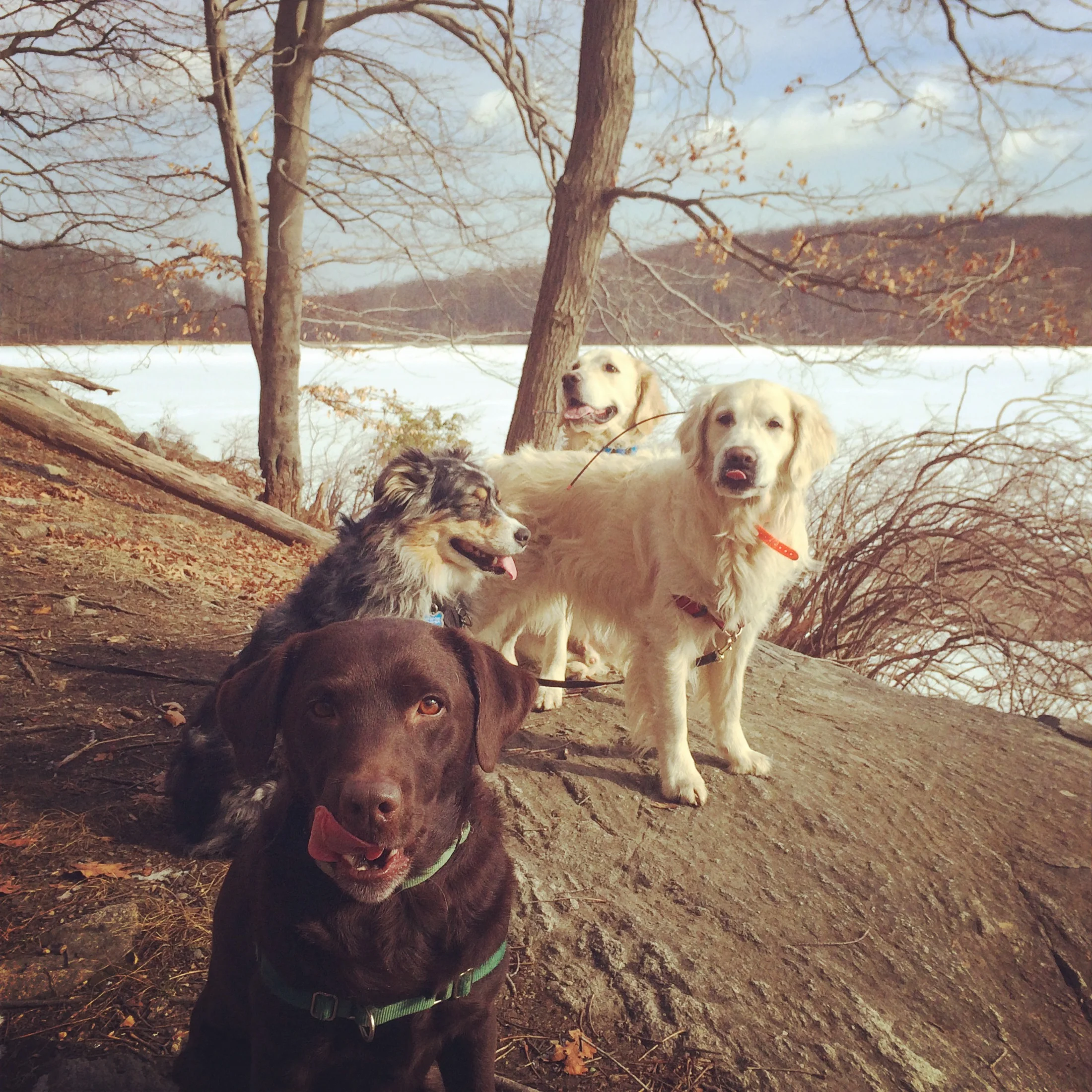
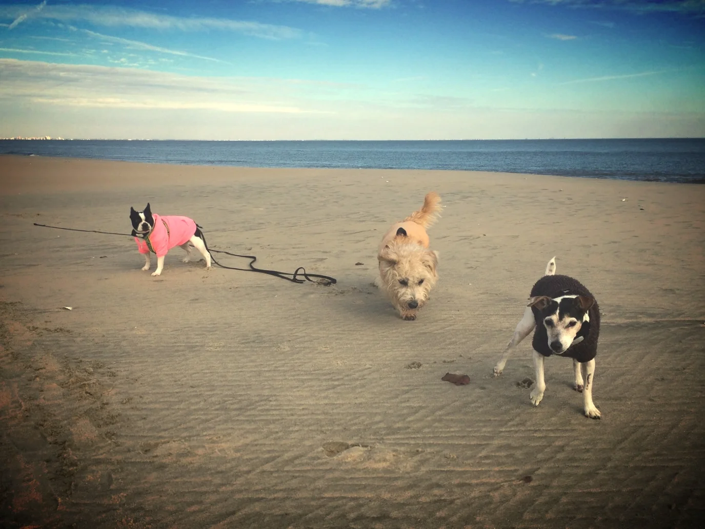
Henry, Otto, Pepper, and Luke at Lake Skannatati and Pine Swamp Mountain


3 Best Hikes in Harriman State Park under 5 miles
Harriman State Park is the second largest state park in New York with 200 miles of hiking trails, over 30 lakes, and only an hour's drive from NYC. Check out www.myharriman.com to learn everything you need to know about this park. Below are my favorite hikes in Harriman State Park under 5 miles that you could do in 3 hours. I picked these hikes because they offer expansive panoramic views and easy access to lakes. Tom Jones Mountain is the only hike not accessible until April because road 106 leading to the trailhead is closed.
#1 Tom Jones Mountain and Lake Skenonto

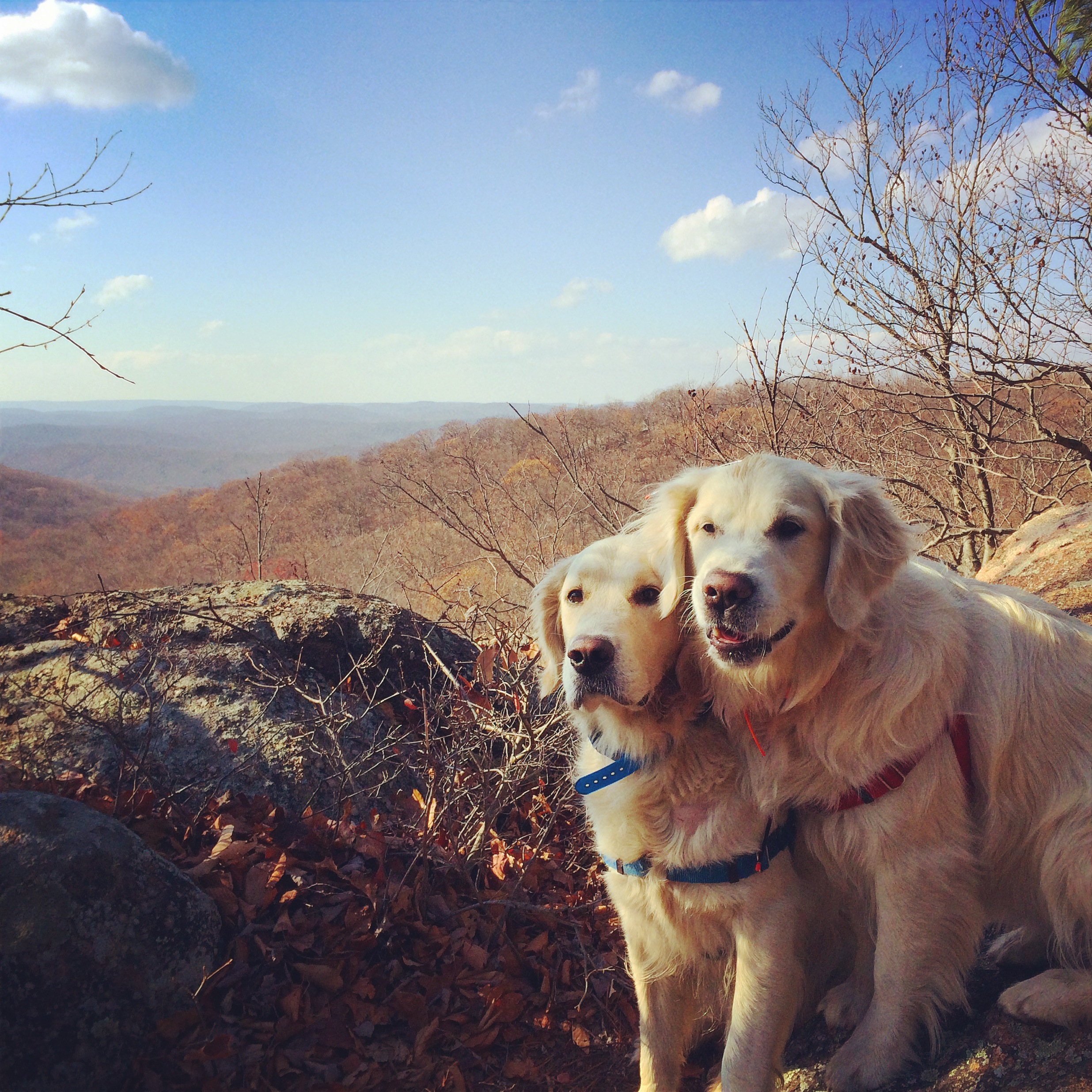
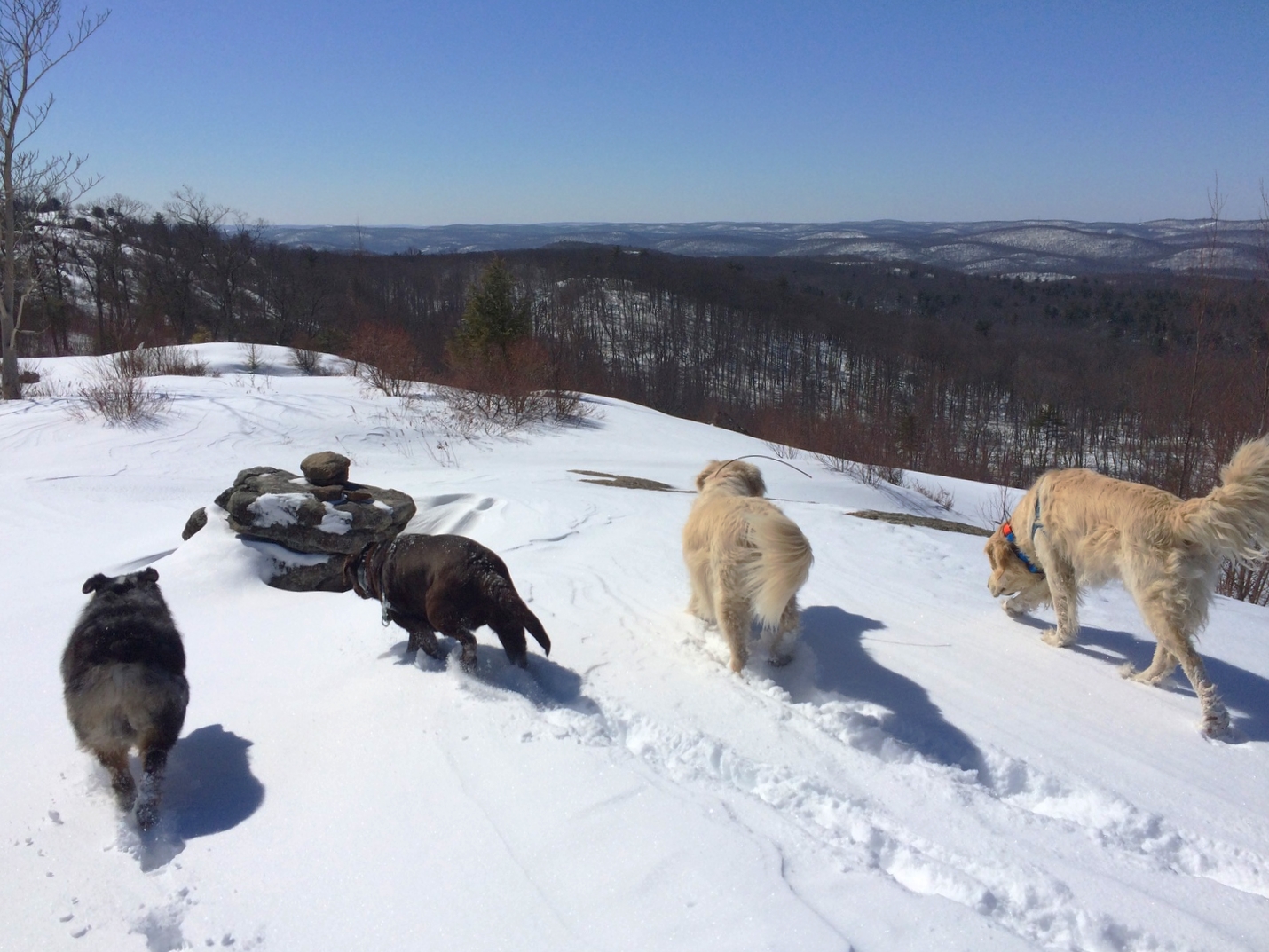
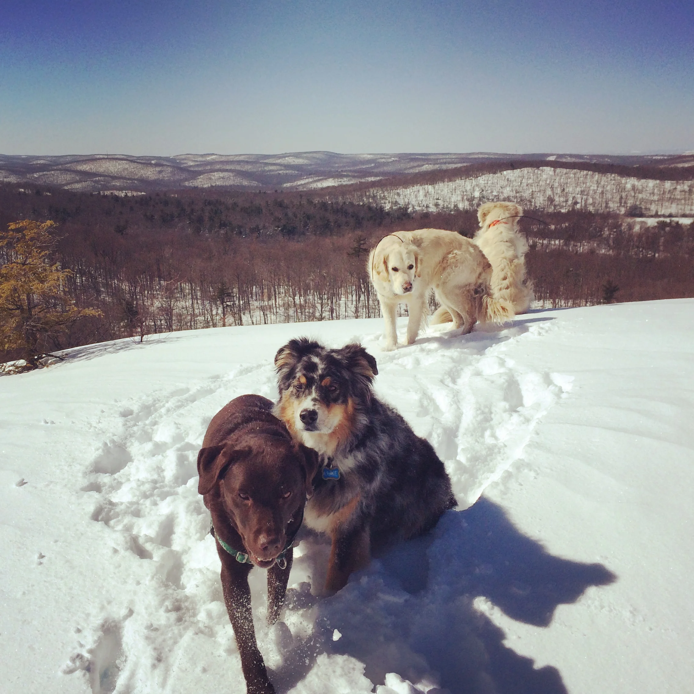
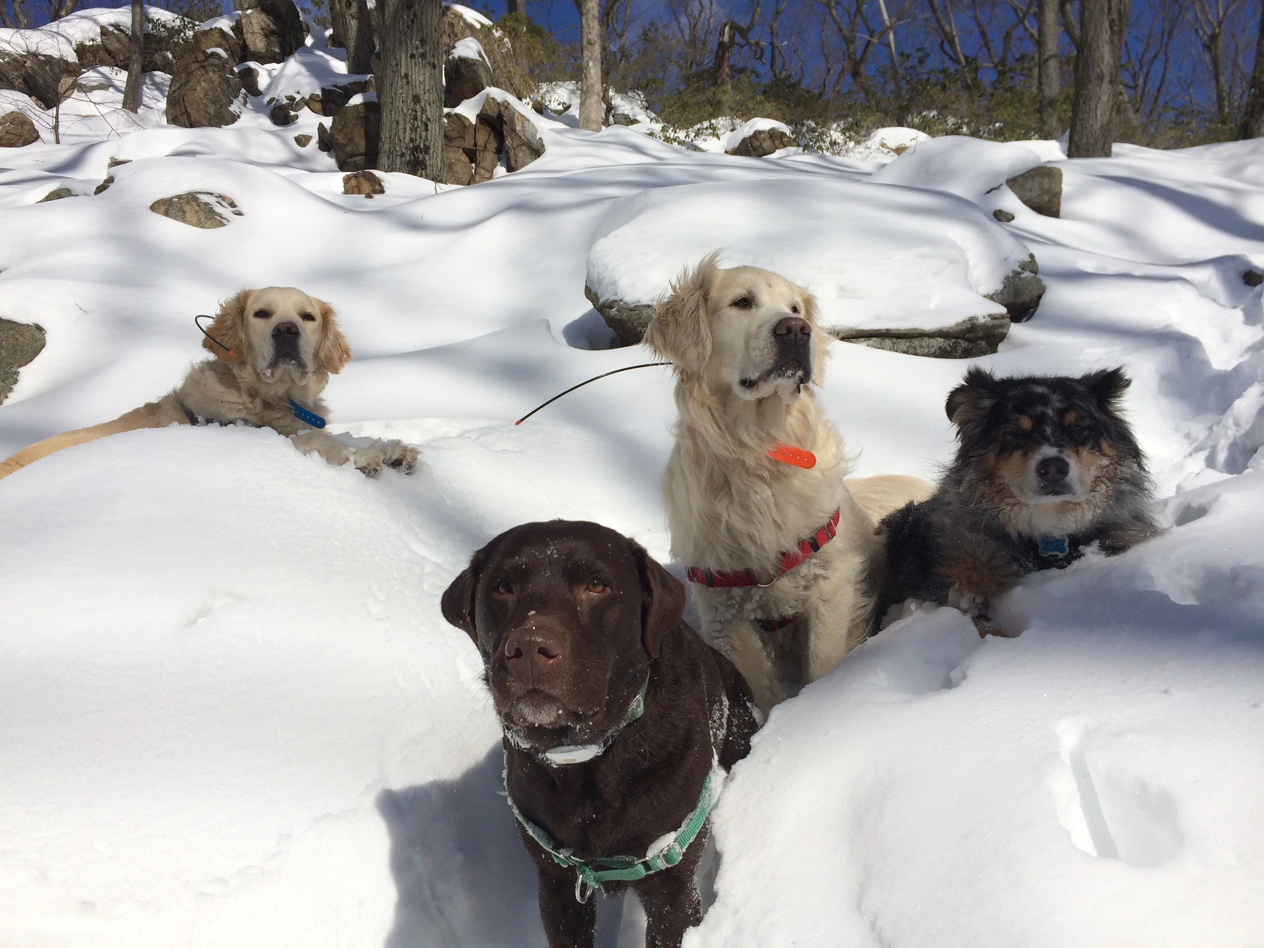
Henry, Otto, Pepper, and Luke at Silvermine Lake and Black Mountain
Location: Harriman State Park, Tuxedo NY
Hike distance: 4.5 miles
Hiking time: 3 hours
Difficulty: Moderate
High point: 1100 feet
Elevation gain: 400 feet
This hike offers access to a beautiful lake and panoramic views with moderate ascents and descents. Start heading south on the yellow-blazed Menomine Trail found just beyond the parking buildings on the western edge of Silvermine lake. After a moderate climb at mile 1.25, you will arrive at Brien Memorial shelter. Turn left on the red-on-white-blazed Appalachian Ramapo-Dunderberg Trail found just beyond the shelter. After a short but steep ascent, the trail levels off for about 0.75 mile. After crossing the Silvermine Road, there is another short but steep climb up to Black Mountain. The panoramic views up to the summit will make you want to return here again and again. Retrace your steps back to the Silvermine Road junction. Turn right on this wide road that takes you back to the eastern edge of Silvermine lake. There are several lake access points just off the road. Continue on the road as it crosses Queensboro Brook until you reach Seven Lakes Drive. Turn left and head back to the parking lot along Seven Lakes Drive.


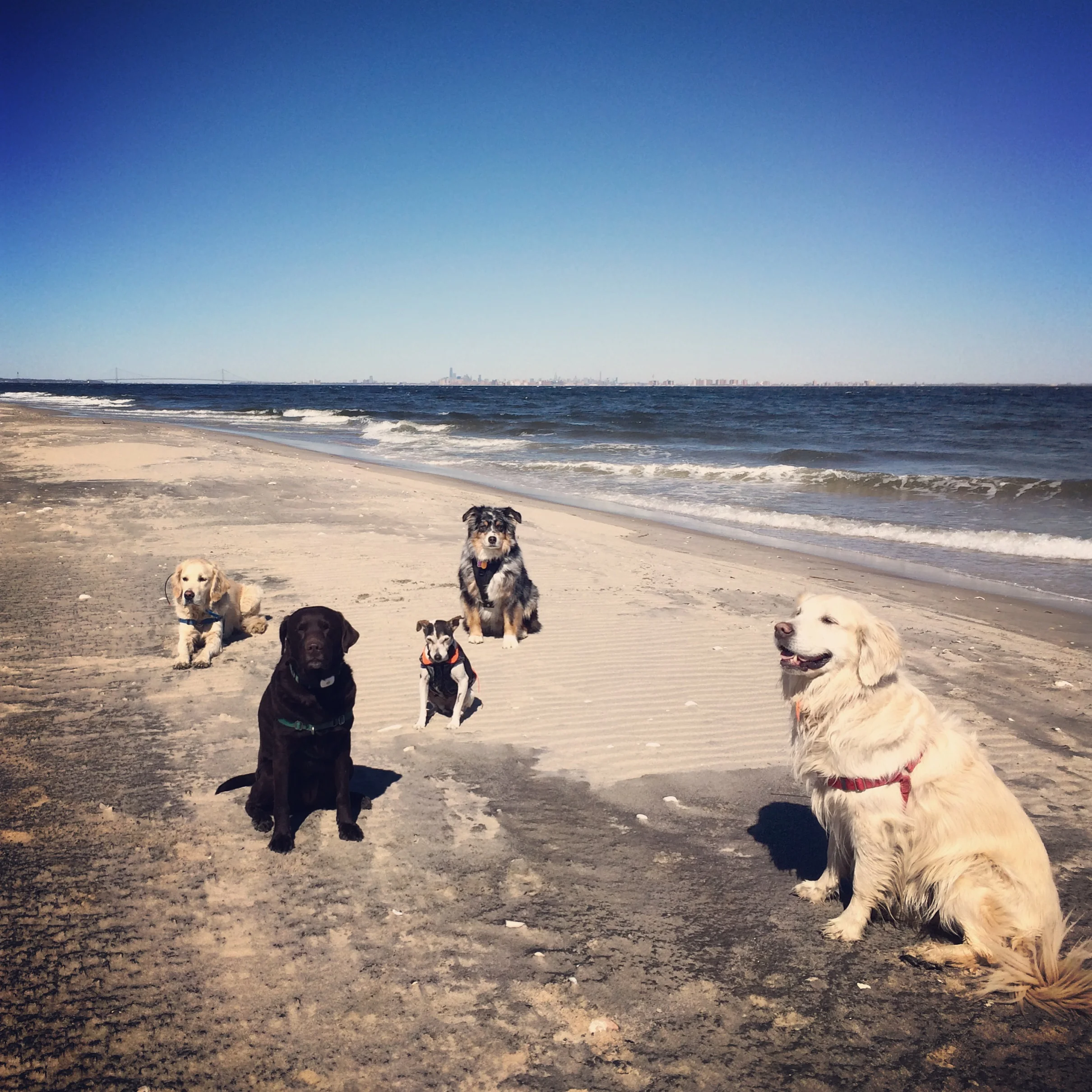
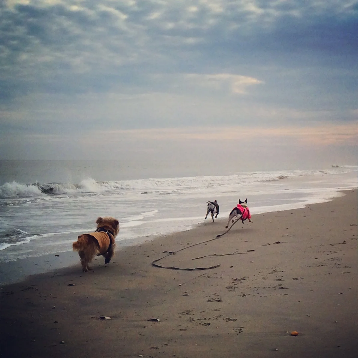
Molly, Ronie, and Hazel at Sandy Hook Beach


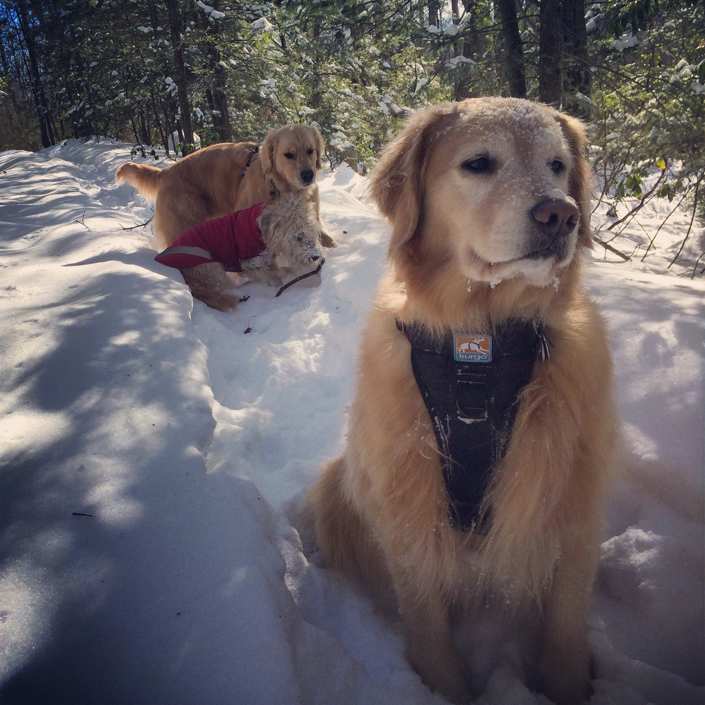
Henry, Otto, Pepper, and Luke at Ramapo Torne
Location: Harriman State Park, Tuxedo NY
Hike distance: 5.2 miles
Hiking time: 3.5 hours
Difficulty: Moderate
High point: 1100 feet
Elevation gain: 600 feet
This hike takes you to several incredible views with a few steep ups and downs. Start at the red-on-white blazed Pine Meadow Trail (PM) on the right side of the Reeves Meadow Visitor Center parking lot facing the woods. Turn left onto the blue-on-white-blazed Seven Hills Trail (SH). At about 1.5 miles, you will see the orange-blazed Hillburn-Torne-Sebago Trail (HTS) on the right, but you should turn left to continue along the SH. Following a couple of steep ascents, you will come to a junction with the HTS again. Turn right following the HTS to the summit of Ramapo Torne. After taking in the expansive view, retrace your steps back on the HTS to the SH junction. Continue ahead on the joint HTS/SH for 0.2 miles until the two trails split. Bear left on the SH which descends steeply and then climbs to a breathtaking viewpoint called the Torne View. Continue on the SH until you reach a junction with the white-blazed Reeves Brook Trail (RB). Turn left on to this trail and follow it back to the PM. Turn left and walk for a short distance until you are back to the Reeves Meadow Visitor Center parking lot.