Molly and Hazel at Teatown Lake


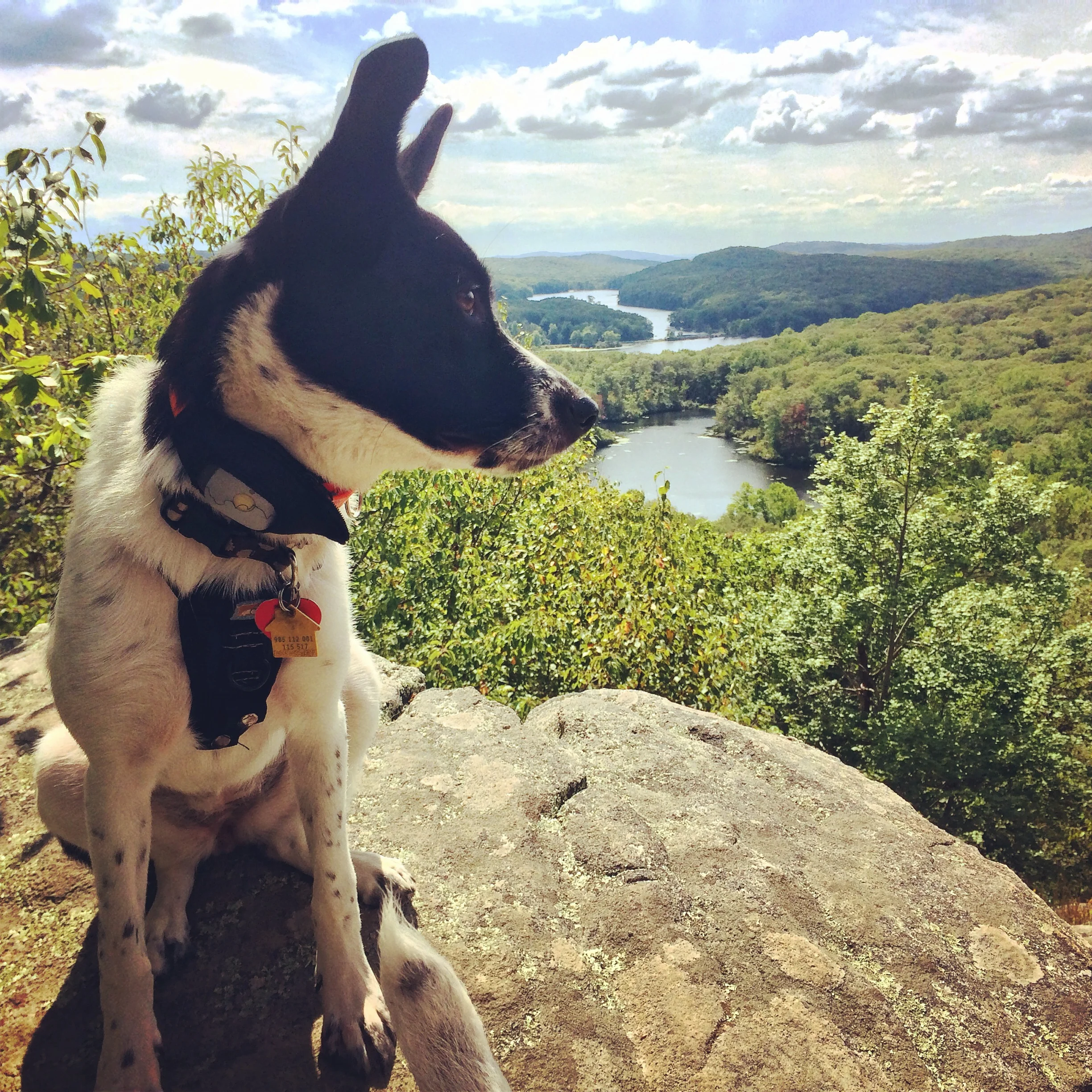
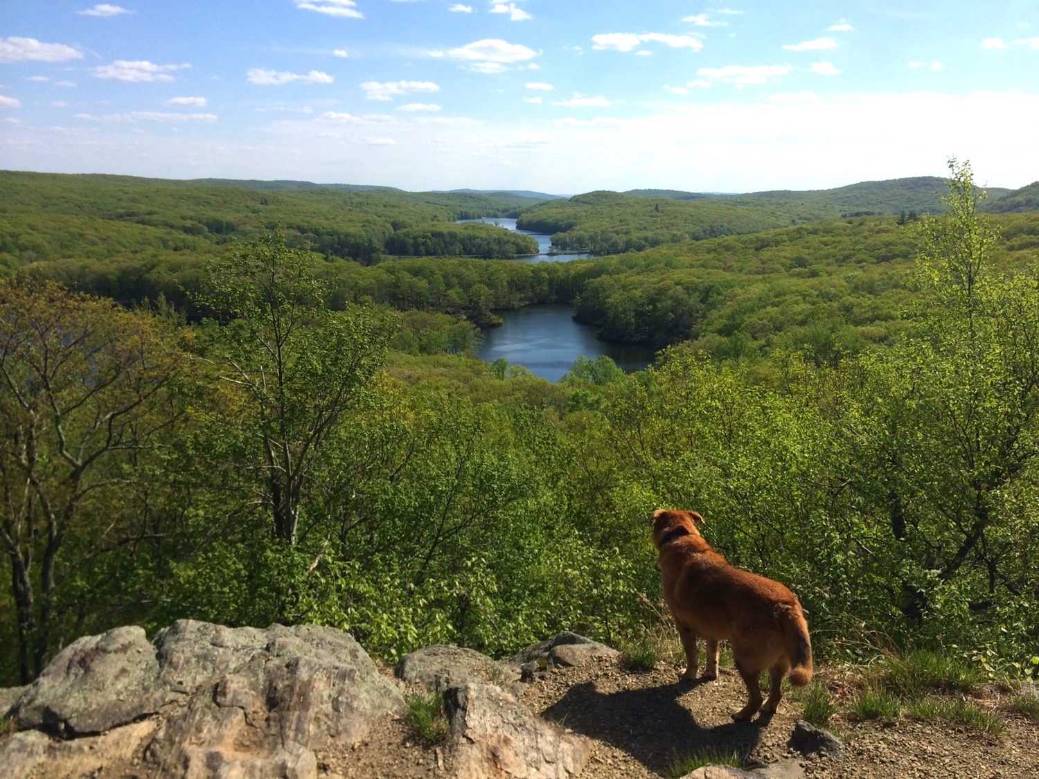
Momo, Molly, and Hazel at Lake Skannatati and Pine Swamp Mountain
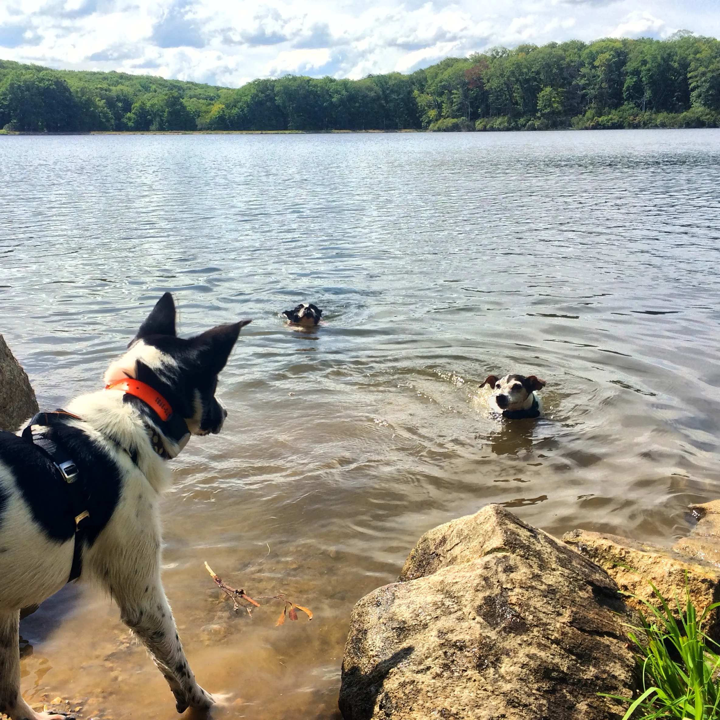


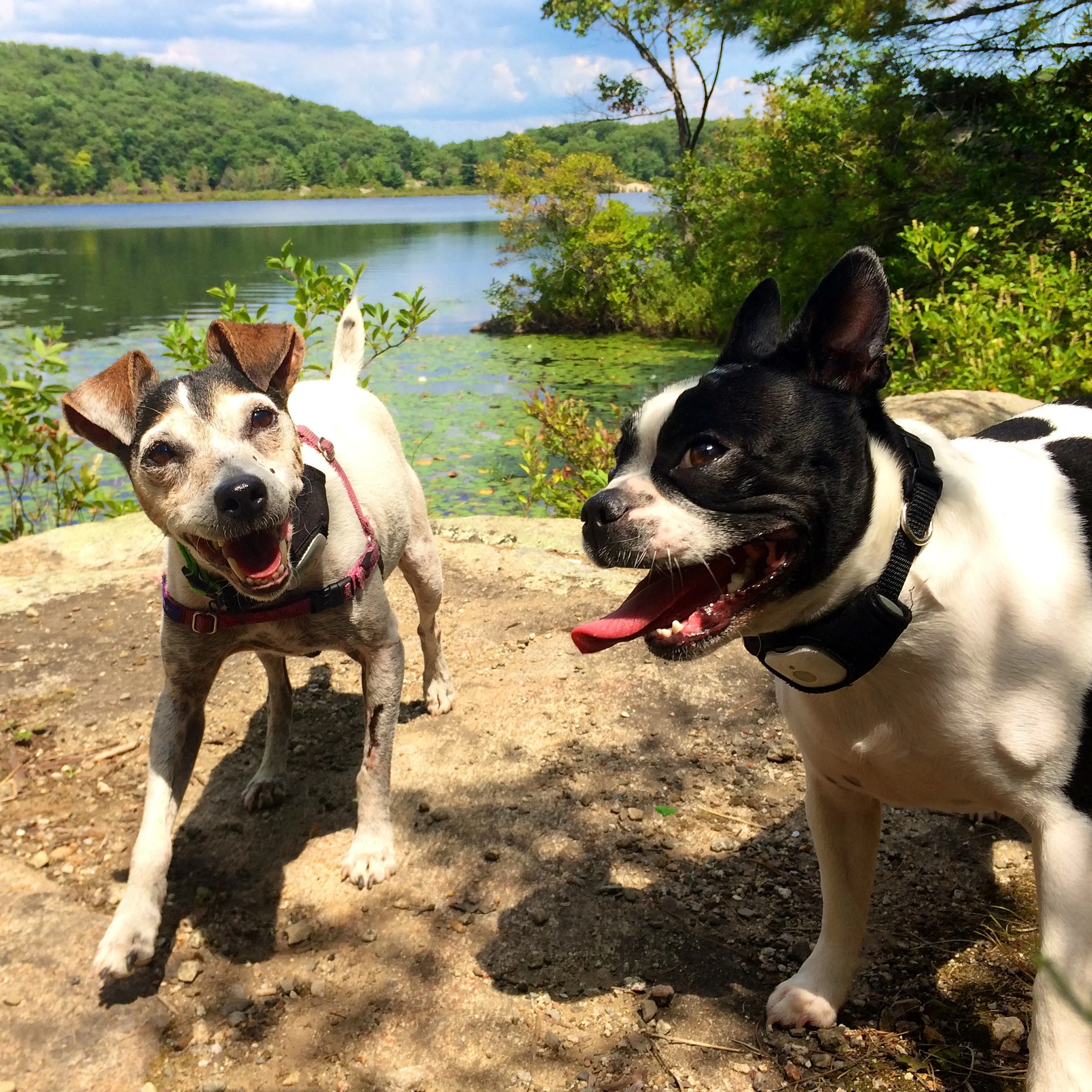
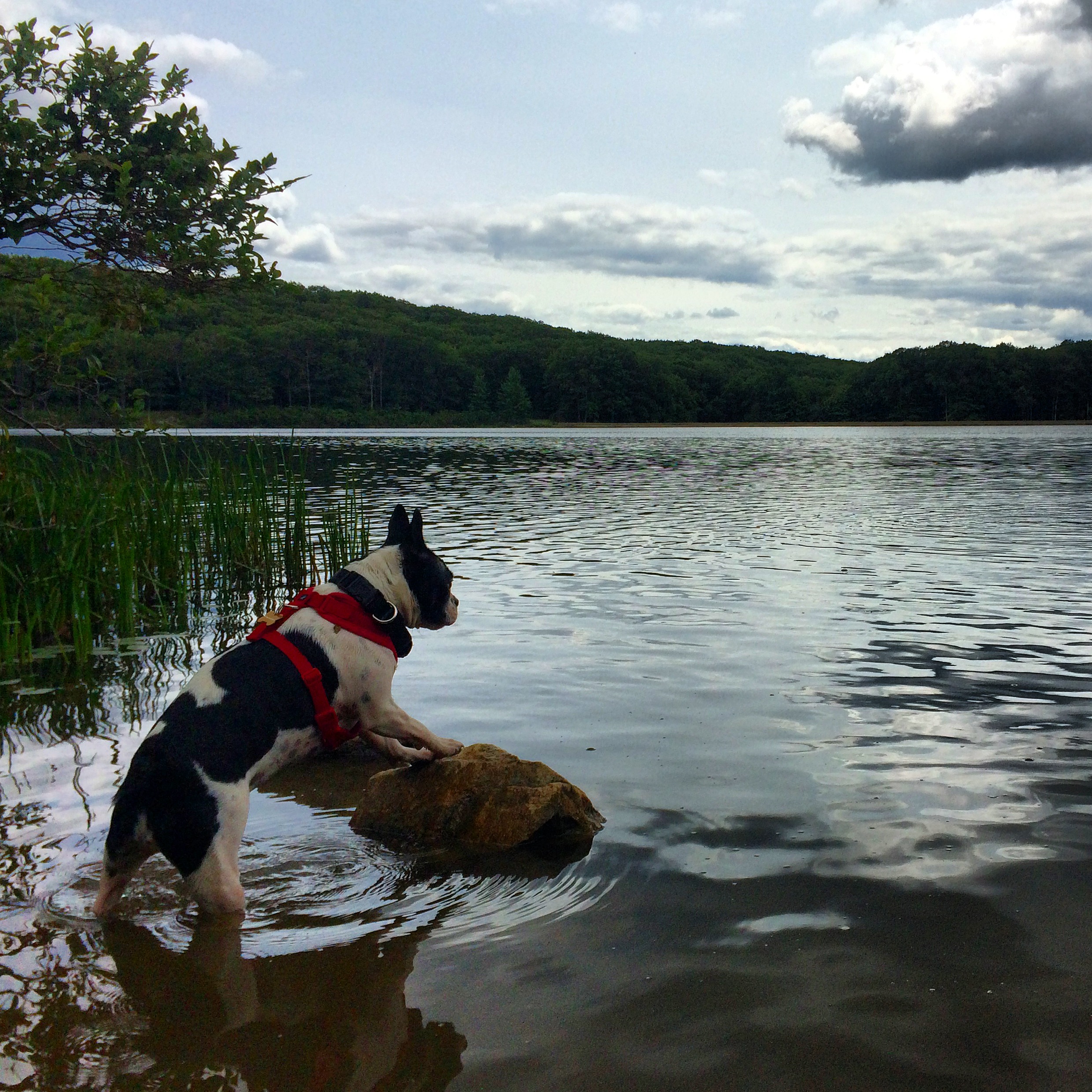
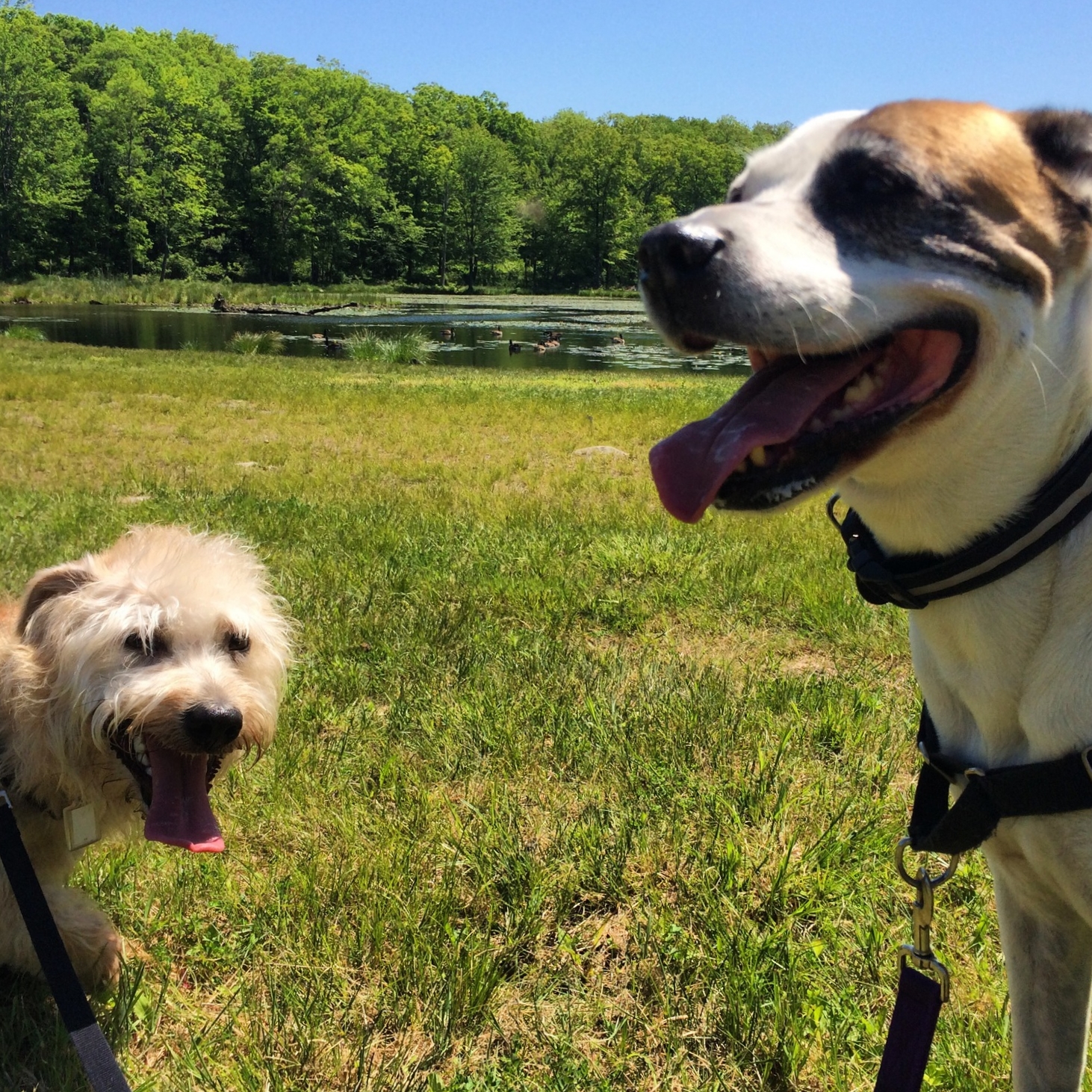
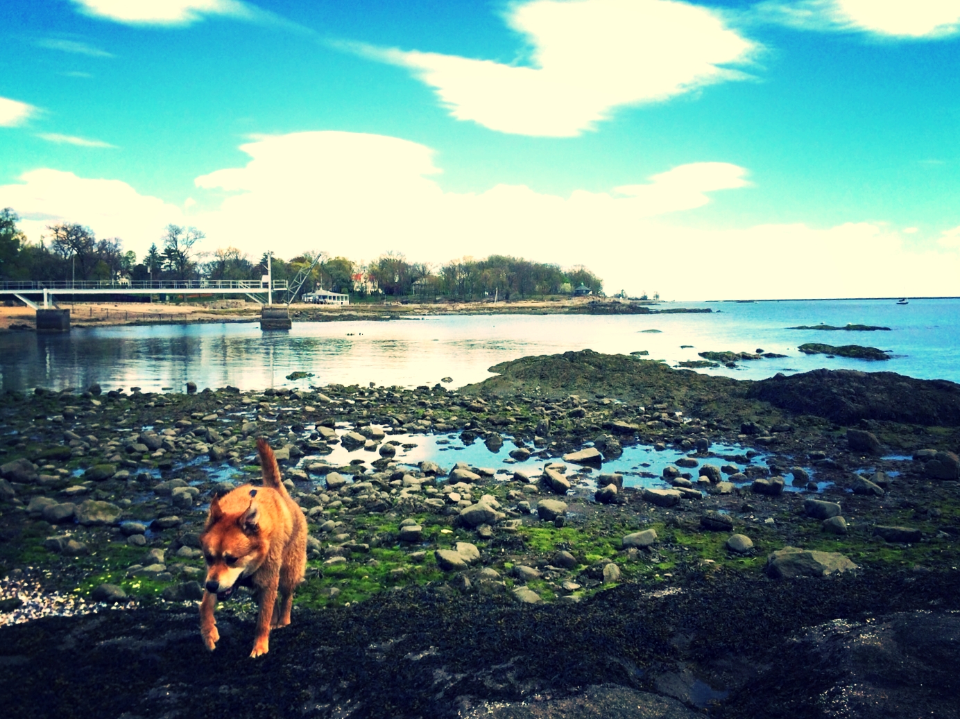
Molly and Hazel at Turkey Hill Pond and Silvermine Lake


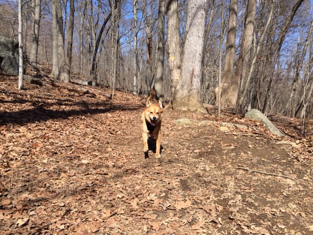
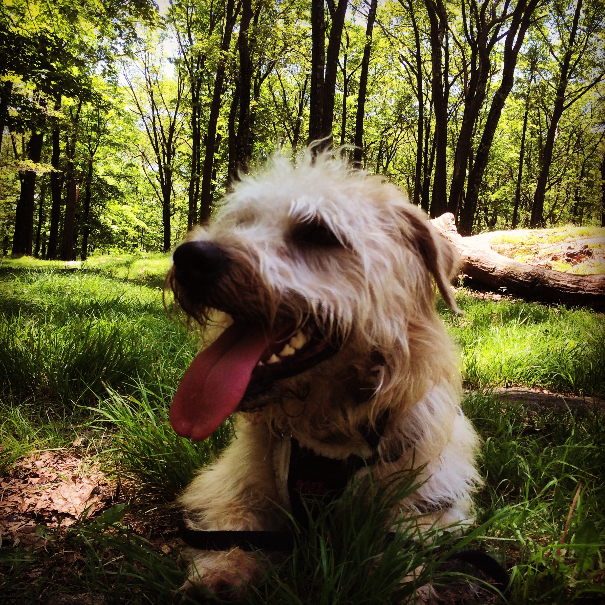
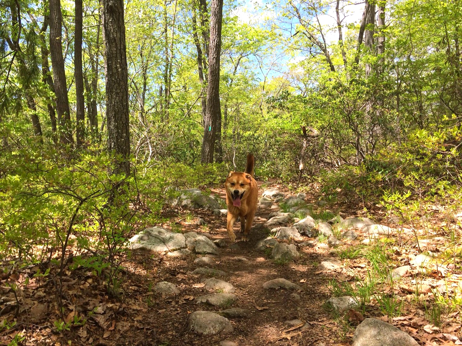
Molly and Hazel hiking the Island Pond Loop
Location: Harriman State Park, Tuxedo NY
Hike distance: 5 miles
Hiking time: 3.5 hours
Difficulty: Moderate
High point: 1175 feet
Elevation gain: 675 feet
This trail loops around Island Pond and provides several opportunities for your dog to swim. From the Elk Pen parking area head west on the white-blazed trail through the grassy meadow. You will quickly come to the junction with the red-blazed Arden-Surebridge trail (ASB). Bear right and continue on the ASB. A little further down, the ASB will split with the woods road and begin an ascent up Green Pond Mountain. Over a half mile into your hike, you will come across Island Pond Road on the left. Bear right and continue on the ASB until you come to a 3-way intersection. Turn left on the unmarked forest road towards Garfield Mine and Island Pond. As you approach the pond, you will discover a crumbling stone building that used to house park rangers around 1920. The rocky embankment right past the building is a perfect spot for your dog to swim. To continue the hike, return back to the ASB and hike for another mile until you reach Crooked Road on the northeast side of Island Pond. Follow this unmarked trail to reach the white-blazed Appalachian Trail (AT). Proceed left on the AT as it travels along the north shore of the pond with multiple access points. Follow the AT until you return back to the parking lot.


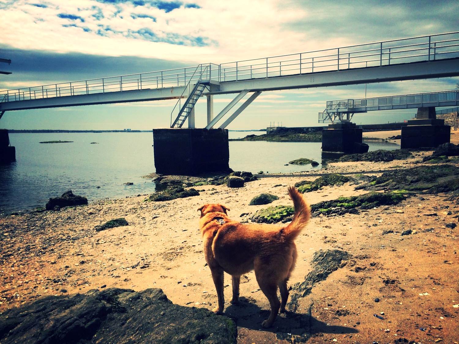
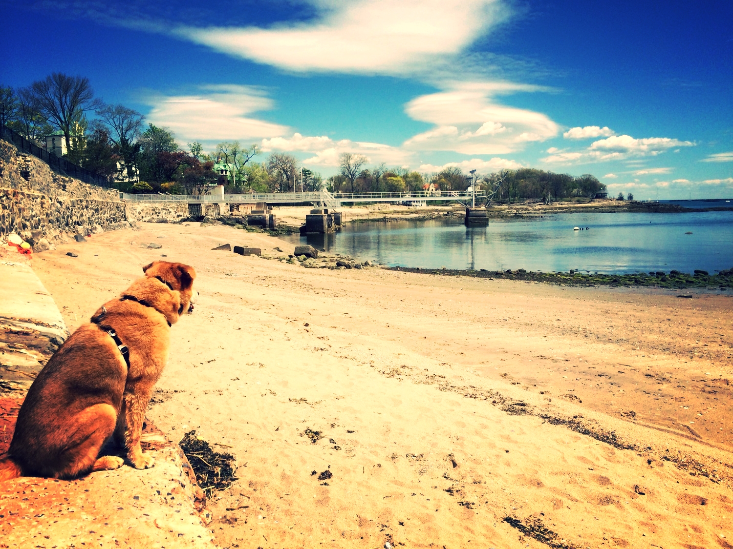
Molly and Hazel at Saxon Woods Park and Larchmont Dog Beach


Hazel, Molly, and Shelly at Lake Skannatati and Pine Swamp Mountain


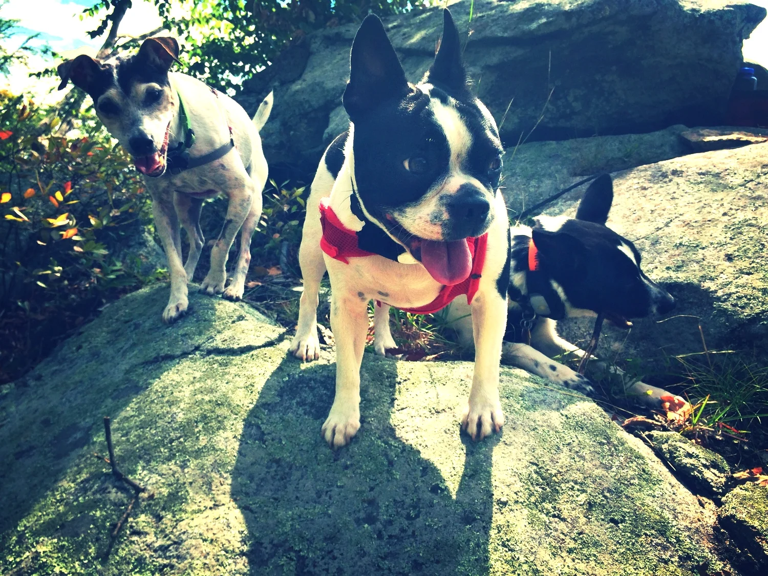
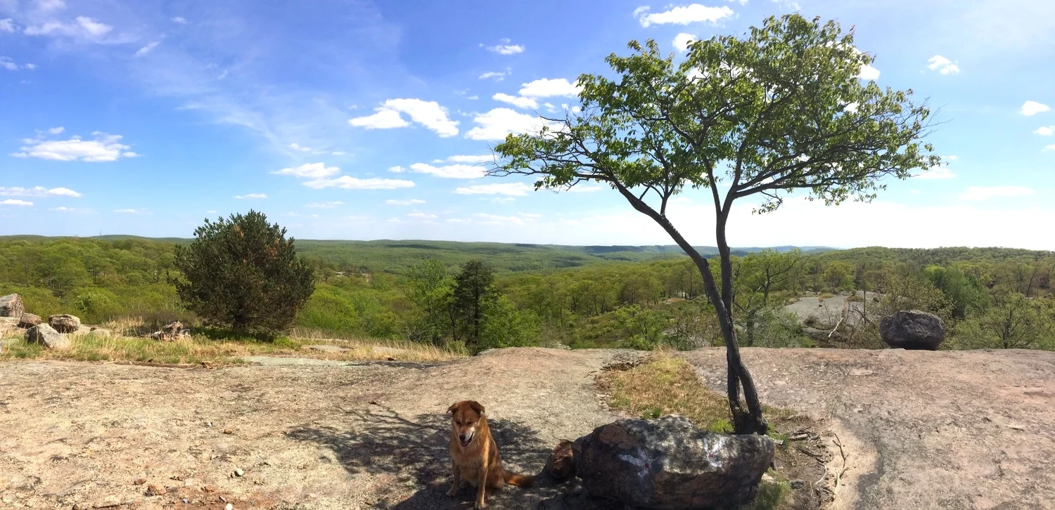
Hazel, Momo, and Molly at Silvermine Lake


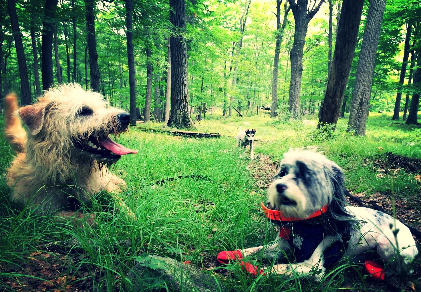
Ronie, Hazel, and Sam at Stockbridge Mountain


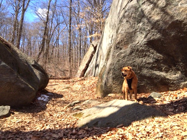
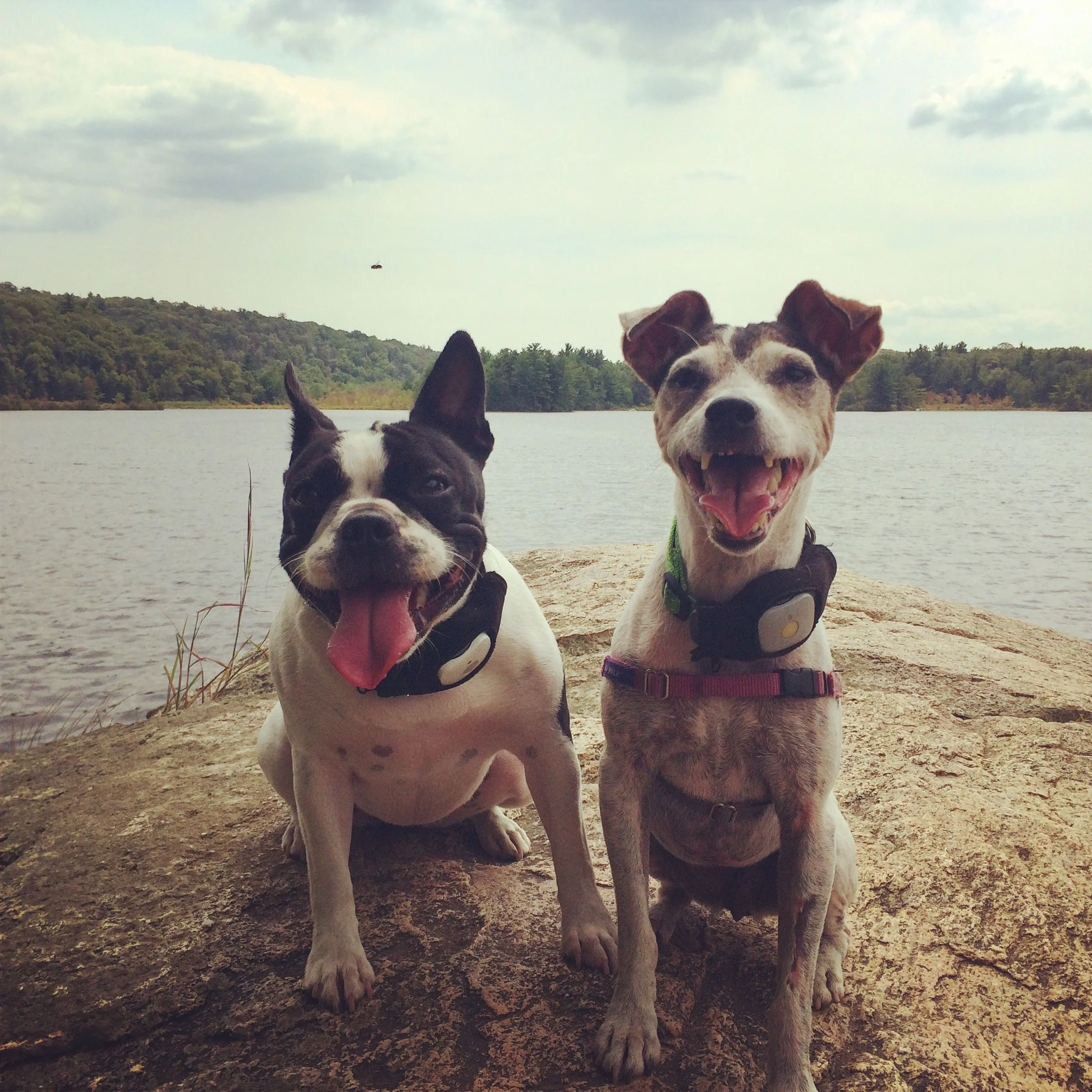
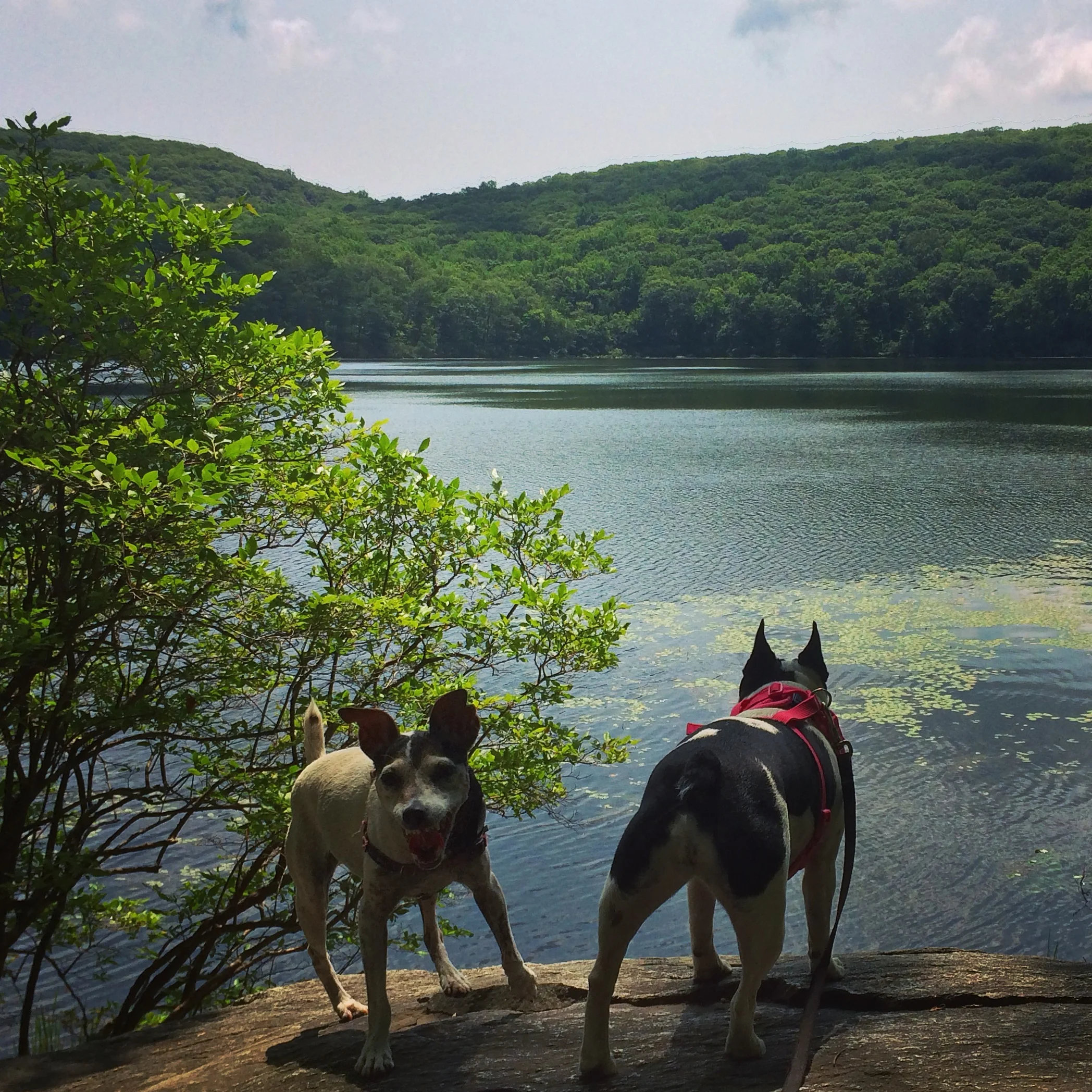
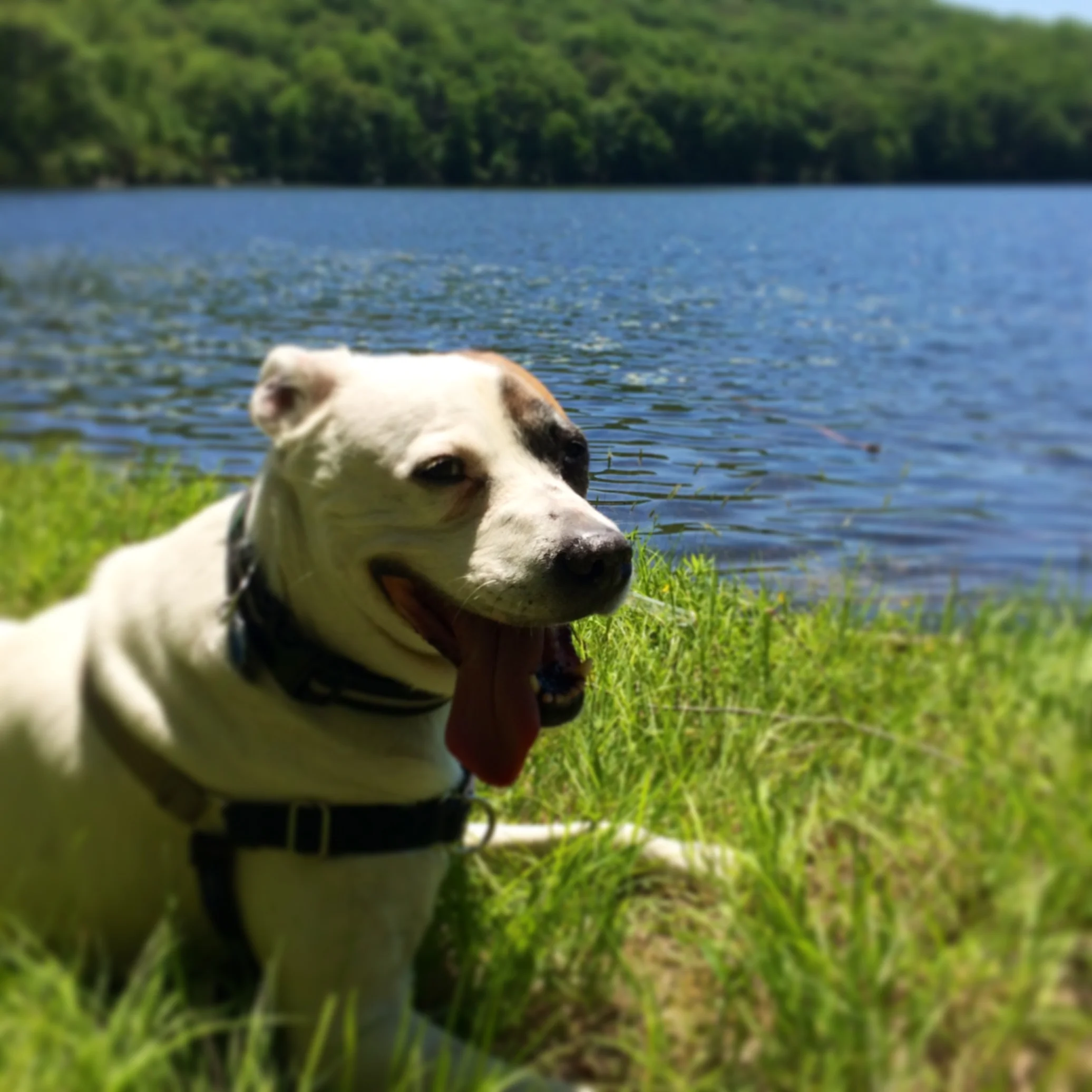
Ronie, Hazel, and Shelly at Long Mountain and Turkey Hill Pond
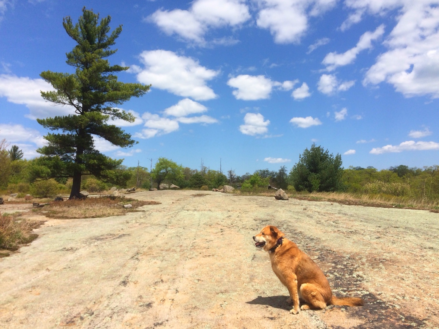
Location: Harriman State Park, Tuxedo NY
Hike distance: 3 miles
Hiking time: 2.5 hours
Difficulty: Moderate
High point: 1155 feet
Elevation gain: 545 feet
This is a fairly short hike and perfect for a hot summer day. Most of the hike is in the shade and there is water access for your dog to cool off. From the parking lot, start on the teal-blazed Long Path (LP) going North into the woods. You will come across a juncture with the red-square-on-white Popolopen Gorge Trail (PG) on your right. Bear left and continue on the LP climbing to the summit of Long Mountain. After taking in the magnificent view, continue on the LP descending the mountain following a few switchbacks until you reach an unmarked woods trail right before the Deep Hollow Brook. Turn left onto this trail until you reach the LP and PG junction. Continue on PG to Turkey Hill Lake. There are multiple access points to the water as you walk around the lake. When you are done swimming and enjoying the peacefulness of the lake, retrace your steps back on PG. Once you reach the junction again, bear left on LP to return to the parking lot.


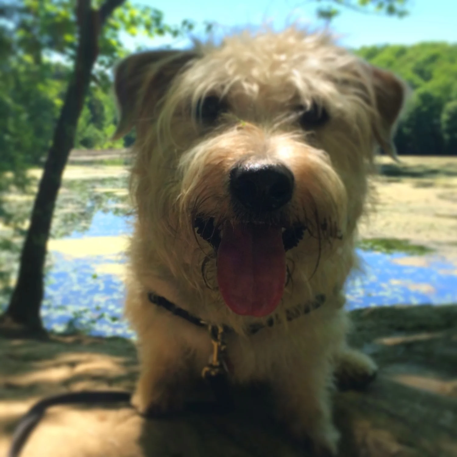
Ronan, Hazel, and Momo hiking the Teatown Kitchawan Trail


Ronan, Hazel, and Luna at Lake Skannatati and Pine Swamp Mountain


Ronan, Hazel, and Luna on top of Pine Swamp Mountain
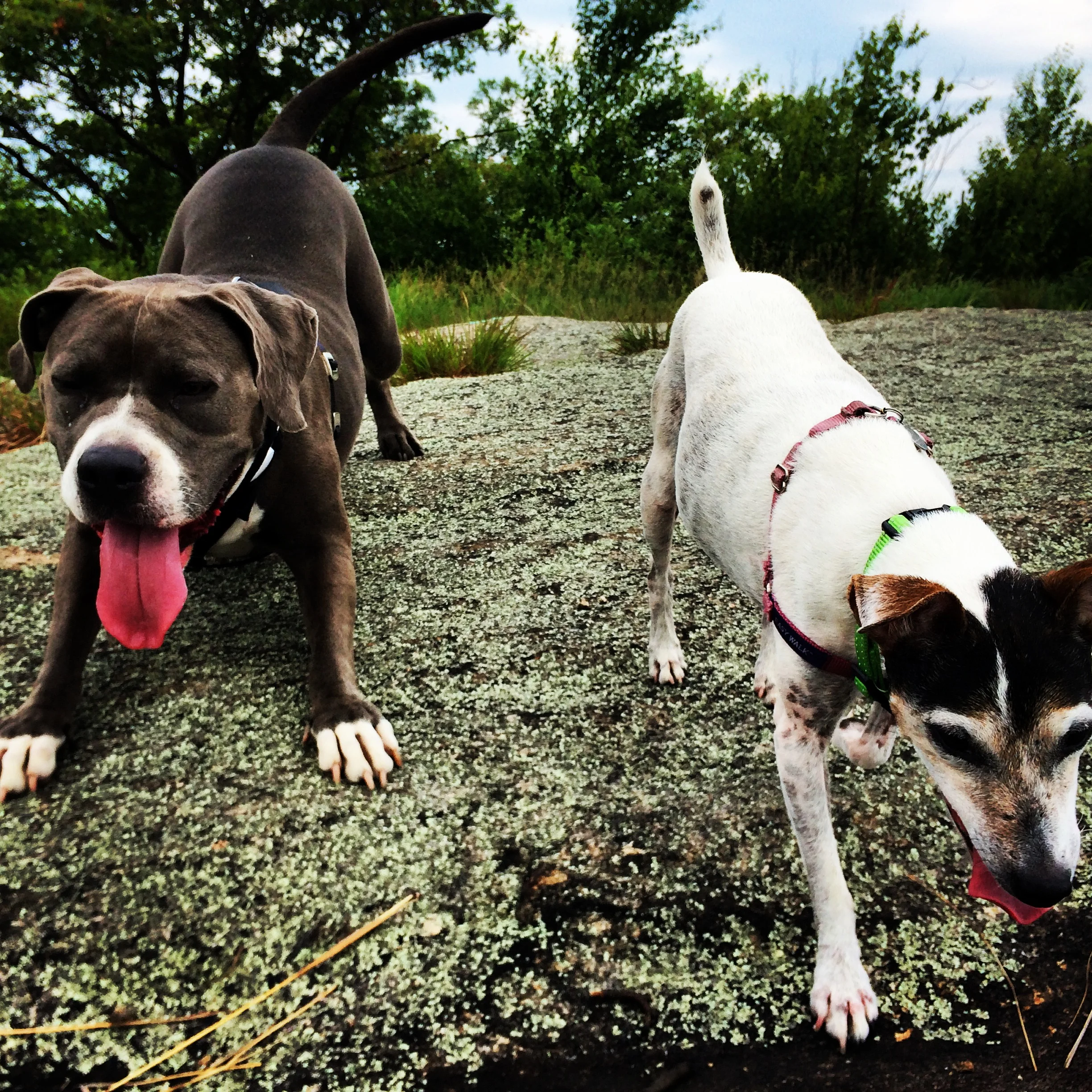
Ronan and Daisy hiking the Silvermine Lake Loop


Ronan's first hike


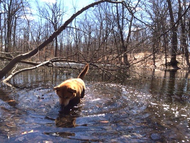
Harriman Lakes and Mountains Loop
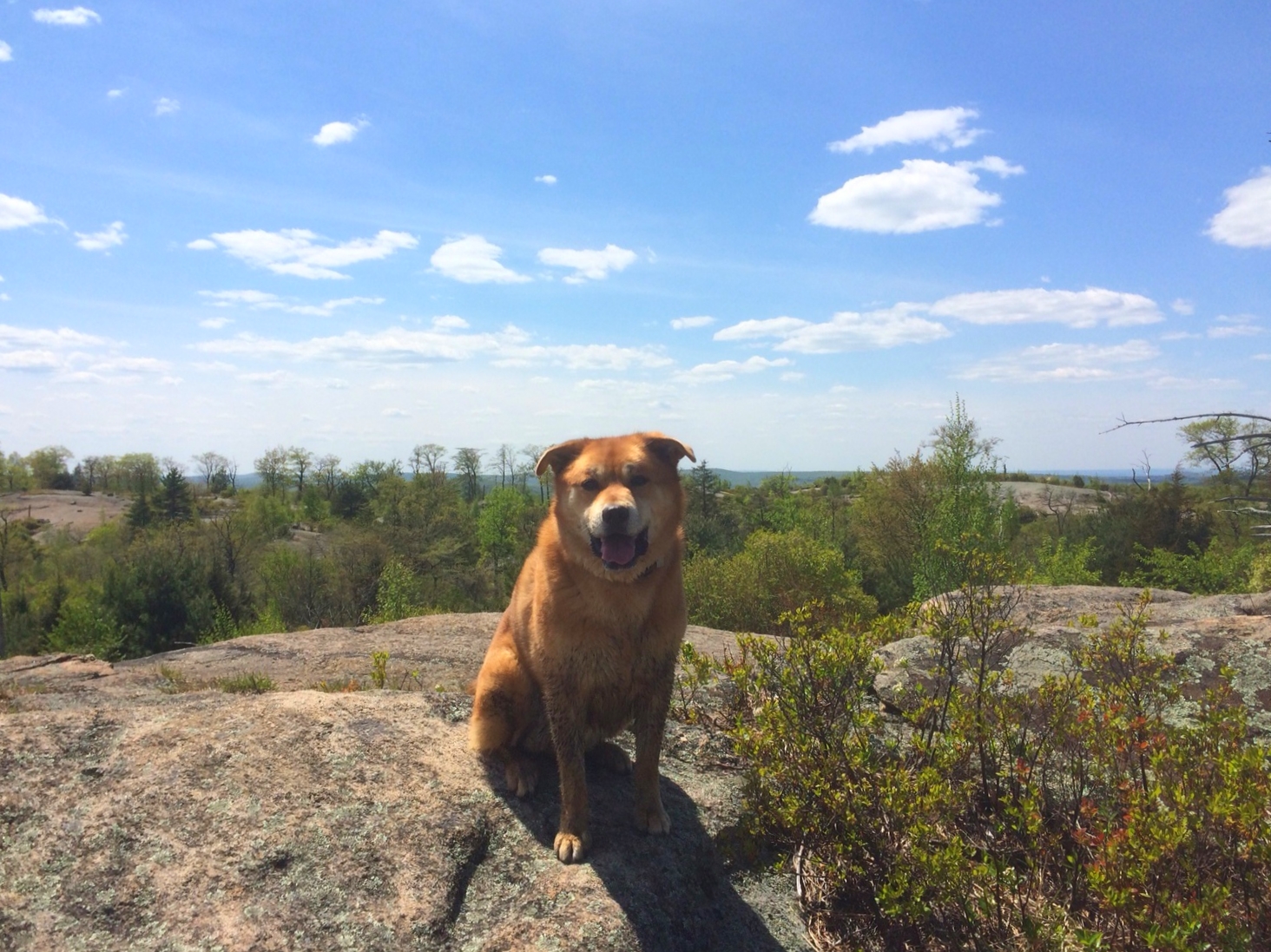
Location: Harriman State Park, Tuxedo NY
Hike distance: 5.25 miles
Hiking time: 3 hours
Difficulty: Moderate
High point: 1335 feet
Elevation gain: 435 feet
There are many great trails in Harriman State Park but this is one of our favorites because it has opportunities to enjoy fresh water, beautiful scenic views, and moderate climbs and descents. The hike starts on the teal-blazed Long Path (LP) from the northeastern edge of Lake Skannatati. About a mile into the hike, the LP crosses the yellow-blazed Dunning Trail. Bear left and continue on the yellow trail for about another mile until you come across a red-dot-on-white-blazed Ramapo-Dunderberg Trail (R-D). This trail marker is easy to miss. If you start to descend, you have walked too far. Turn right onto the R-D and continue north, hiking over bald rock faces, and taking in breathtaking views. Bear right and continue on the R-D to Times Square – an intersection where four trails meet. Continue through the intersection following the red-triangular-blazed Arden-Surebridge Trail (A-SB). This trail will take you back to the Lake Skannatati parking lot.

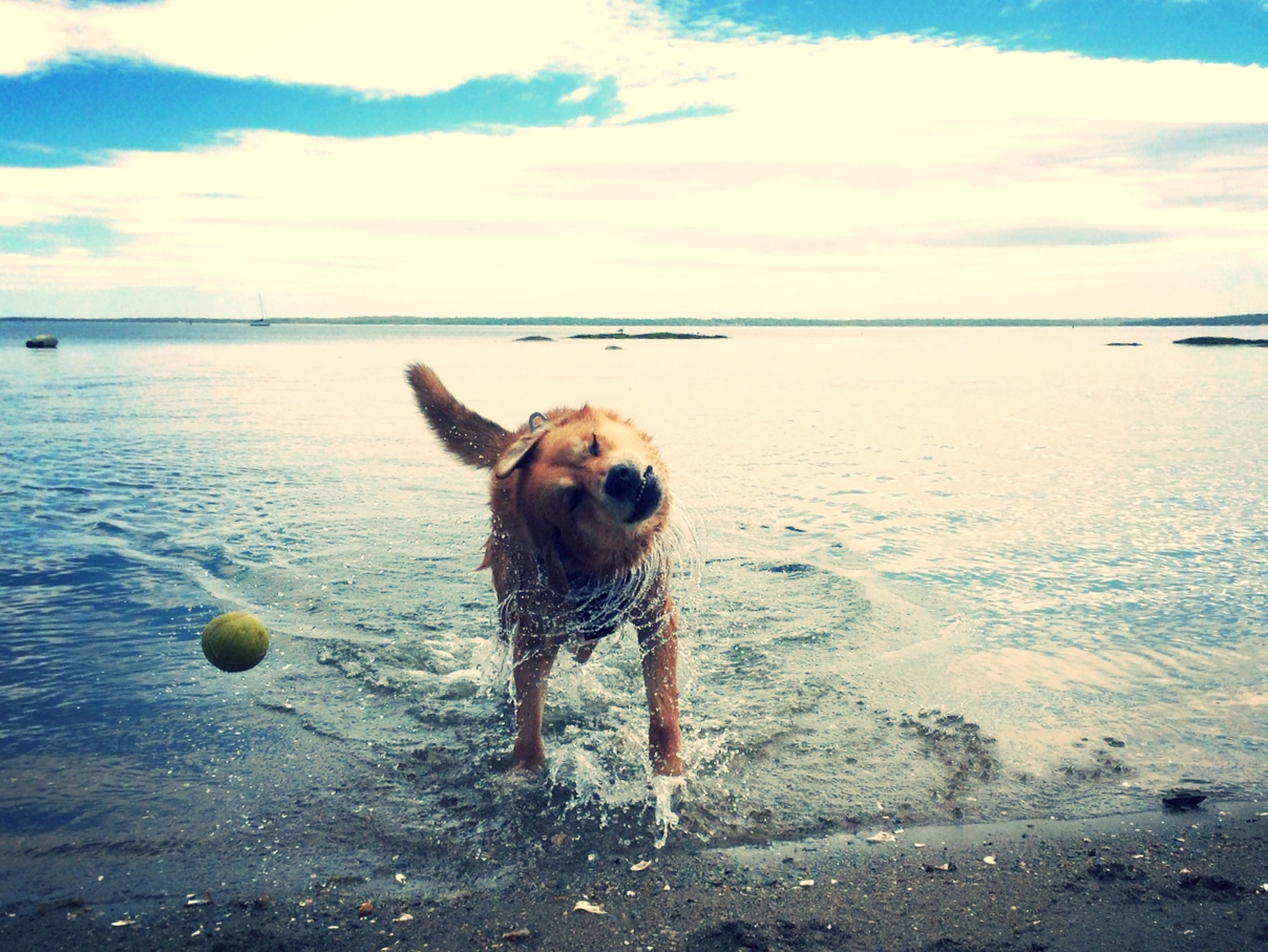
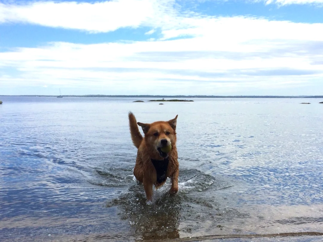
Larchmont Dog Beach
This is our favorite dog beach near NYC especially during the summer months when dogs are prohibited from most beaches near the city. The beach is sandy, clean and mostly enclosed. It’s best to go during low tide so that there is more room for your dog to run and roll in the sand. Street parking is available about 2 blocks away.
Bald Mountain to Teatown Lake, Ossining
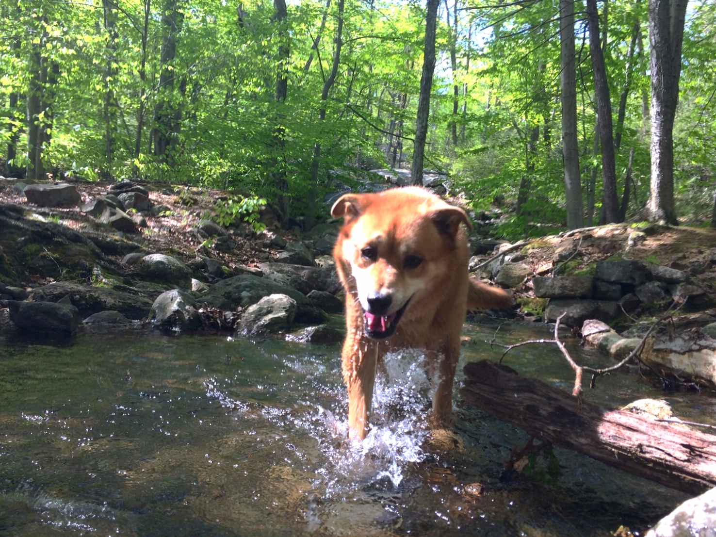
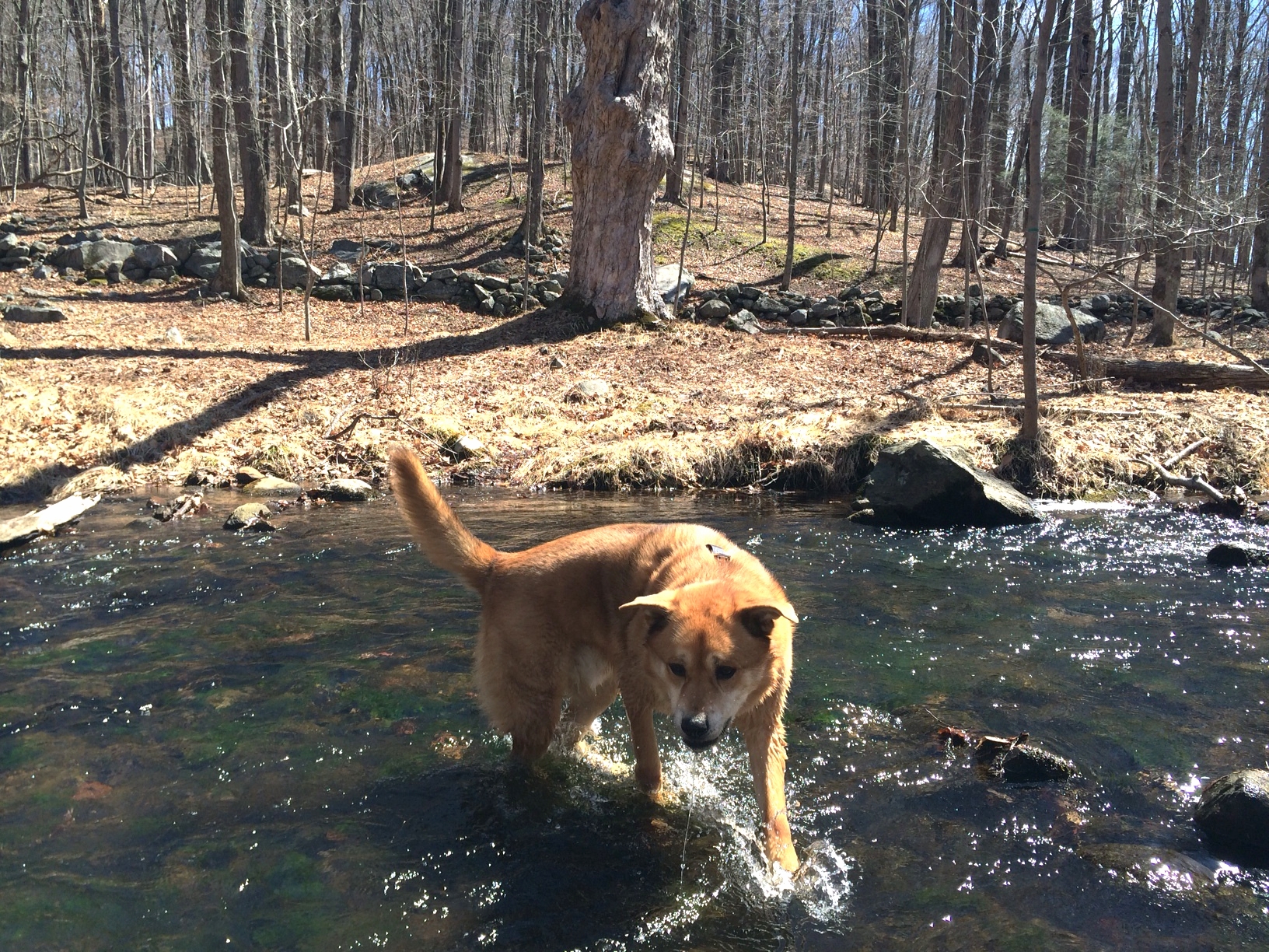
Poncho and I went on a hike from Bald Mountain to Teatown Lake in Ossining NY last week. It was a peaceful and scenic hike on a beautiful spring sunny day. We heard birds chirping throughout the hike and even spotted a couple of hawks, butterflies and Canadian geese. The entire hike is about 4 miles with a 200' elevation gain up to the top of Bald Mountain. The view was not spectacular but it was enjoyable to look down at the peacefulness of the hardwood forest below. Poncho took several dips in the Bailey Brook on our way to Teatown Lake from Bald Mountain. The trail took us around the entire lake and there were many opportunities for Poncho to swim. The park's nature center offers access to drinking water and bathroom. There are also many other trails to explore around the lake. We look forward to coming back!
Trail Map: Please note that to get to the top of Bald Mountain, take The Teatown-Kitchawan Trail (purple blazes) to a yellow trail on the right instead of a green trail marked on this map.


Easy hike
As the weather gets warmer, Poncho and I are looking forward to spending more time outdoors. We took an easy, relaxed, 2 hr hike yesterday in Westchester. The trail was pretty muddy in parts due to all the snow and recent rain. Poncho enjoyed the mud very much as you can see!